Ferrymead Area, Ferrymead Postcode(8007) & Map in Ferrymead
Ferrymead Area, Ferrymead Postcode(8007) & Map in Ferrymead, Christchurch City, New Zealand
Ferrymead, Christchurch City, New Zealand
Ferrymead Area (estimated)
3.0 square kilometersFerrymead Population (estimated)
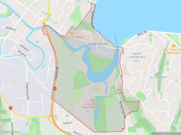
110 people live in Ferrymead, Linwood-Central-Heathcote Community, NZFerrymead Suburb Area Map (Polygon)
Ferrymead Introduction
Ferrymead is a suburb of Christchurch, New Zealand, located in the eastern part of the city. It is known for its large population of Pacific Islanders and has a variety of shops, restaurants, and recreational facilities. The suburb also has a significant Muslim community and is home to the largest mosque in New Zealand. Ferrymead is well-connected to the rest of the city by bus and train, and is within walking distance of the CBD.Region
Major City
Suburb Name
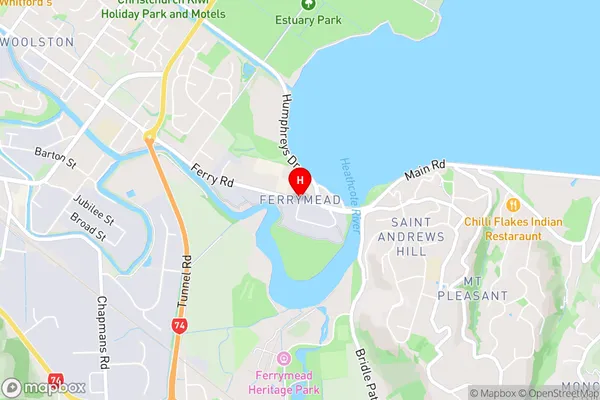
FerrymeadFerrymead Area Map (Street)
Local Authority
Christchurch CityFull Address
Ferrymead, Christchurch City, New ZealandAddress Type
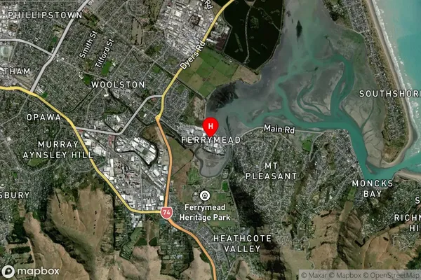
Suburb in City ChristchurchFerrymead Suburb Map (Satellite)
Country
Main Region in AU
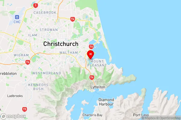
CanterburyFerrymead Region Map
Coordinates
-43.557724,172.7040178 (latitude/longitude)Distances
The distance from Ferrymead, Christchurch, Christchurch City to NZ Top 10 Cities