Fendalton Area, Fendalton Postcode(8140) & Map in Fendalton
Fendalton Area, Fendalton Postcode(8140) & Map in Fendalton, Christchurch City, New Zealand
Fendalton, Christchurch City, New Zealand
Fendalton Area (estimated)
2.4 square kilometersFendalton Population (estimated)
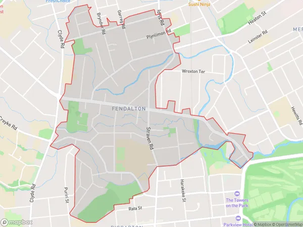
3755 people live in Fendalton, Christchurch, NZFendalton Suburb Area Map (Polygon)
Fendalton Introduction
Fendalton is a suburb of Christchurch, New Zealand, located in the western suburbs of the city. It is known for its large population of students, as it is home to the University of Canterbury and several other tertiary institutions. The suburb has a variety of shops, restaurants, and recreational facilities, and is well-connected to the rest of the city by public transport.Region
Major City
Suburb Name
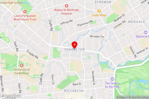
FendaltonFendalton Area Map (Street)
Local Authority
Christchurch CityFull Address
Fendalton, Christchurch City, New ZealandAddress Type
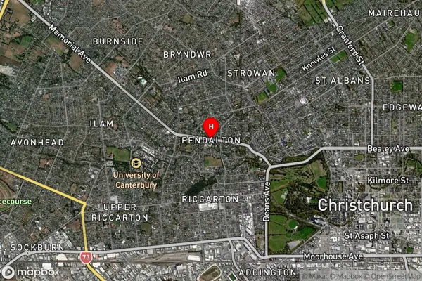
Suburb in City ChristchurchFendalton Suburb Map (Satellite)
Country
Main Region in AU
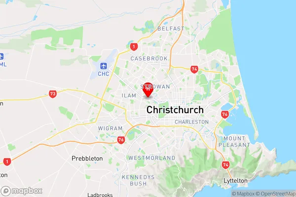
CanterburyFendalton Region Map
Coordinates
-43.5195232,172.598799 (latitude/longitude)Distances
The distance from Fendalton, Christchurch, Christchurch City to NZ Top 10 Cities