Arahura Valley Area, Arahura Valley Postcode & Map in Arahura Valley
Arahura Valley Area, Arahura Valley Postcode & Map in Arahura Valley, Westland District,
Arahura Valley, Westland District,
Arahura Valley Area (estimated)
29.8 square kilometersArahura Valley Population (estimated)
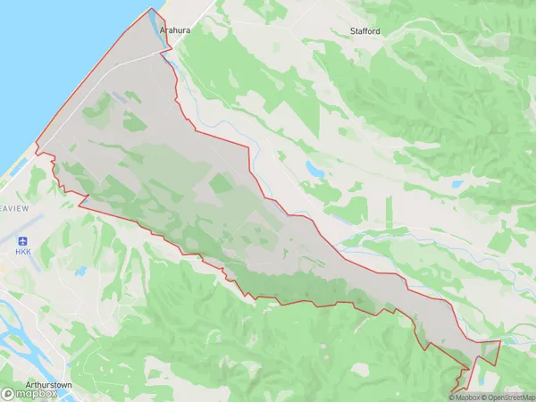
410 people live in Arahura Valley, Hokitika, NZArahura Valley Suburb Area Map (Polygon)
Arahura Valley Introduction
Arahura Valley is a picturesque rural community located on the West Coast of New Zealand's South Island. It is known for its stunning natural scenery, including lush green forests, crystal-clear rivers, and towering mountain peaks. The valley is home to a variety of wildlife, including native birds, seals, and occasionally even whales. Visitors can enjoy a range of outdoor activities, such as hiking, fishing, and kayaking, or simply relax and take in the peaceful atmosphere.Region
Major City
Suburb Name
Arahura ValleyOther Name(s)
Arahura, Houhou, Humphreys, KaihinuArahura Valley Area Map (Street)
Local Authority
Westland DistrictFull Address
Arahura Valley, Westland District,Address Type
Locality in Town HokitikaArahura Valley Suburb Map (Satellite)
Country
Main Region in AU
West CoastArahura Valley Region Map
Coordinates
0,0 (latitude/longitude)Distances
The distance from Arahura Valley, Hokitika, Westland District to NZ Top 10 Cities