Mata Kopae Area, Mata Kopae Postcode & Map in Mata Kopae
Mata Kopae Area, Mata Kopae Postcode & Map in Mata Kopae, Hurunui District, New Zealand
Mata Kopae, Hurunui District, New Zealand
Mata Kopae Area (estimated)
0.2 square kilometersMata Kopae Population (estimated)
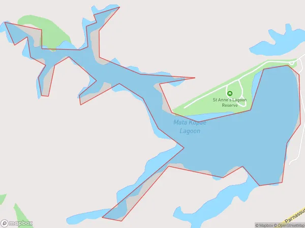
0 people live in Mata Kopae, Canterbury, NZMata Kopae Suburb Area Map (Polygon)
Mata Kopae Introduction
Mata Kopae is a small beach located in the Canterbury region of New Zealand. It is known for its stunning natural beauty, including rugged cliffs, crystal-clear waters, and a variety of marine life. The beach is a popular spot for swimming, surfing, and fishing, and it is also home to a small community of people who live in the nearby area.Region
Suburb Name
Mata KopaeOther Name(s)
Mata Kopae Lagoon, Saint Annes Lagoon, St Annes LagoonMata Kopae Area Map (Street)

Local Authority
Hurunui DistrictFull Address
Mata Kopae, Hurunui District, New ZealandAddress Type
LakeMata Kopae Suburb Map (Satellite)

Country
Main Region in AU
CanterburyMata Kopae Region Map

Coordinates
-42.7805877,173.267773947756 (latitude/longitude)Distances
The distance from Mata Kopae, , Hurunui District to NZ Top 10 Cities