Mangahao Upper No. 1 Reservoir Area, Mangahao Upper No. 1 Reservoir Postcode & Map in Mangahao Upper No. 1 Reservoir
Mangahao Upper No. 1 Reservoir Area, Mangahao Upper No. 1 Reservoir Postcode & Map in Mangahao Upper No. 1 Reservoir, Horowhenua District, New Zealand
Mangahao Upper No. 1 Reservoir, Horowhenua District, New Zealand
Mangahao Upper No. 1 Reservoir Area (estimated)
0.2 square kilometersMangahao Upper No. 1 Reservoir Population (estimated)
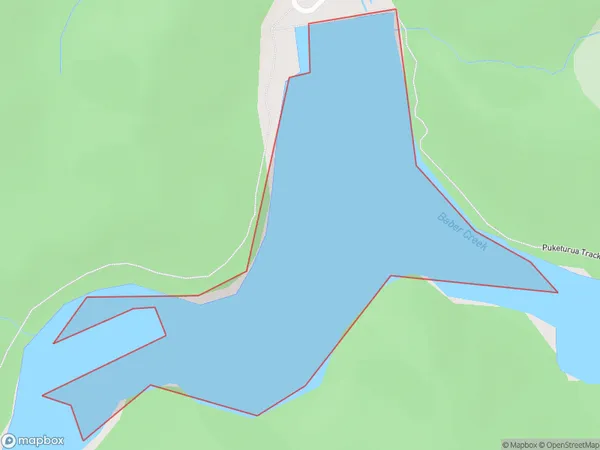
0 people live in Mangahao Upper No. 1 Reservoir, Manawatu-Wanganui, NZMangahao Upper No. 1 Reservoir Suburb Area Map (Polygon)
Mangahao Upper No. 1 Reservoir Introduction
Mangahao Upper No. 1 Reservoir is a hydroelectric storage reservoir in the Manawatu-Wanganui region of New Zealand. It was built in the 1970s and 1980s on the Mangahao River, a tributary of the Wanganui River. The reservoir has a capacity of 110 million cubic meters of water and is used to regulate the flow of water downstream for power generation and irrigation. The surrounding area is popular for outdoor activities such as hiking, fishing, and camping.Region
Suburb Name
Mangahao Upper No. 1 ReservoirMangahao Upper No. 1 Reservoir Area Map (Street)

Local Authority
Horowhenua DistrictFull Address
Mangahao Upper No. 1 Reservoir, Horowhenua District, New ZealandAddress Type
LakeMangahao Upper No. 1 Reservoir Suburb Map (Satellite)

Country
Main Region in AU
Manawatu-WanganuiMangahao Upper No. 1 Reservoir Region Map

Coordinates
-40.6306924,175.475709391661 (latitude/longitude)Distances
The distance from Mangahao Upper No. 1 Reservoir, , Horowhenua District to NZ Top 10 Cities