Mangahao Lower No. 2 Reservoir Area, Mangahao Lower No. 2 Reservoir Postcode & Map in Mangahao Lower No. 2 Reservoir
Mangahao Lower No. 2 Reservoir Area, Mangahao Lower No. 2 Reservoir Postcode & Map in Mangahao Lower No. 2 Reservoir, Horowhenua District, New Zealand
Mangahao Lower No. 2 Reservoir, Horowhenua District, New Zealand
Mangahao Lower No. 2 Reservoir Area (estimated)
0.1 square kilometersMangahao Lower No. 2 Reservoir Population (estimated)
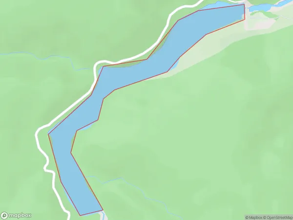
0 people live in Mangahao Lower No. 2 Reservoir, Manawatu-Wanganui, NZMangahao Lower No. 2 Reservoir Suburb Area Map (Polygon)
Mangahao Lower No. 2 Reservoir Introduction
Mangahao Lower No. 2 Reservoir is a small hydroelectric power station in the Manawatu-Wanganui region of New Zealand. It was built in the 1960s and 1970s on the Mangahao River, a tributary of the Wanganui River. The reservoir provides water to the Mangahao Power Station, which generates electricity for the local grid. The power station also has a fish hatchery that releases trout into the river for recreational fishing. The reservoir is a popular spot for water-based activities such as boating, fishing, and swimming.Region
Suburb Name
Mangahao Lower No. 2 ReservoirMangahao Lower No. 2 Reservoir Area Map (Street)

Local Authority
Horowhenua DistrictFull Address
Mangahao Lower No. 2 Reservoir, Horowhenua District, New ZealandAddress Type
LakeMangahao Lower No. 2 Reservoir Suburb Map (Satellite)

Country
Main Region in AU
Manawatu-WanganuiMangahao Lower No. 2 Reservoir Region Map

Coordinates
-40.6057871,175.488796049448 (latitude/longitude)Distances
The distance from Mangahao Lower No. 2 Reservoir, , Horowhenua District to NZ Top 10 Cities