Lower Manorburn Dam Area, Lower Manorburn Dam Postcode & Map in Lower Manorburn Dam
Lower Manorburn Dam Area, Lower Manorburn Dam Postcode & Map in Lower Manorburn Dam, Central Otago District, New Zealand
Lower Manorburn Dam, Central Otago District, New Zealand
Lower Manorburn Dam Area (estimated)
0.2 square kilometersLower Manorburn Dam Population (estimated)
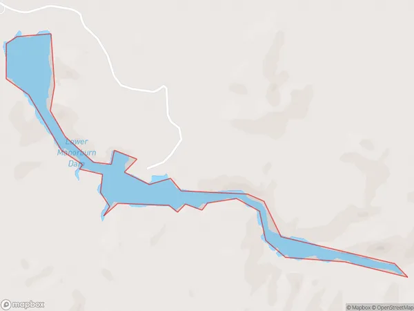
0 people live in Lower Manorburn Dam, Vincent Community, NZLower Manorburn Dam Suburb Area Map (Polygon)
Lower Manorburn Dam Introduction
Lower Manorburn Dam is a concrete gravity dam in Otago, New Zealand. It was built in 1973 and controls the flow of the Manorburn River for hydroelectric power generation. The dam is 113 meters high and 220 meters long.Region
Major City
Suburb Name
Lower Manorburn DamLower Manorburn Dam Area Map (Street)

Local Authority
Central Otago DistrictFull Address
Lower Manorburn Dam, Central Otago District, New ZealandAddress Type
LakeLower Manorburn Dam Suburb Map (Satellite)

Country
Main Region in AU
OtagoLower Manorburn Dam Region Map

Coordinates
-45.23962195,169.443400767652 (latitude/longitude)Distances
The distance from Lower Manorburn Dam, , Central Otago District to NZ Top 10 Cities