Fairfield Area, Fairfield Postcode(5011) & Map in Fairfield
Fairfield Area, Fairfield Postcode(5011) & Map in Fairfield, Lower Hutt City, New Zealand
Fairfield, Lower Hutt City, New Zealand
Fairfield Postcodes
Fairfield Area (estimated)
2.1 square kilometersFairfield Population (estimated)
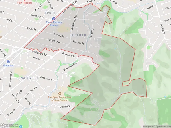
2643 people live in Fairfield, Lower Hutt, NZFairfield Suburb Area Map (Polygon)
Fairfield Introduction
Fairfield is a suburb of Lower Hutt, Wellington, New Zealand. It is located on the southern side of the Hutt River and is known for its large population and diverse community. Fairfield has a variety of shops, restaurants, and recreational facilities, including a swimming pool, tennis courts, and a golf course. The suburb is also home to a number of significant historical sites, including the Fairfield Park Racecourse and the Fairfield Energy Centre.Region
Major City
Suburb Name
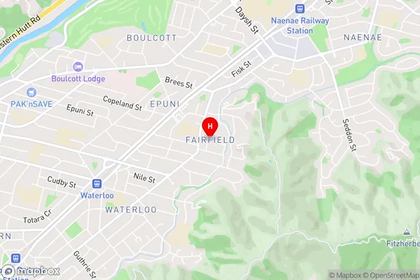
FairfieldFairfield Area Map (Street)
Local Authority
Lower Hutt CityFull Address
Fairfield, Lower Hutt City, New ZealandAddress Type
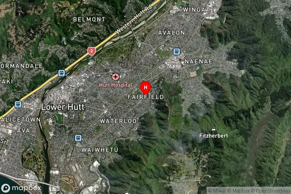
Suburb in City Lower HuttFairfield Suburb Map (Satellite)
Country
Main Region in AU
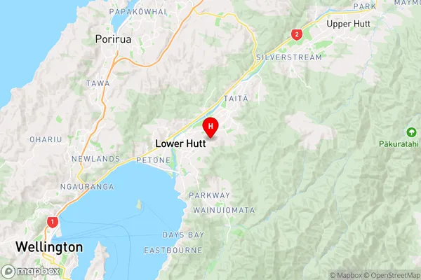
WellingtonFairfield Region Map
Coordinates
-41.2099461,174.9350883 (latitude/longitude)Distances
The distance from Fairfield, Lower Hutt, Lower Hutt City to NZ Top 10 Cities