Tikitapu/Blue Lake Area, Tikitapu/Blue Lake Postcode & Map in Tikitapu/Blue Lake
Tikitapu/Blue Lake Area, Tikitapu/Blue Lake Postcode & Map in Tikitapu/Blue Lake, Rotorua District,
Tikitapu/Blue Lake, Rotorua District,
Tikitapu/Blue Lake Area (estimated)
1.7 square kilometersTikitapu/Blue Lake Population (estimated)
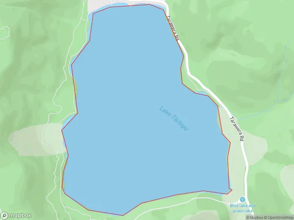
0 people live in Tikitapu/Blue Lake, Rotorua, NZTikitapu/Blue Lake Suburb Area Map (Polygon)
Tikitapu/Blue Lake Introduction
Tikitapu/Blue Lake is a vibrant blue lake in Rotorua, New Zealand, known for its unique geothermal features and stunning natural surroundings. It is a popular tourist destination and offers a range of activities, including hiking, boat tours, and geothermal walks. The lake is also home to a diverse range of wildlife, including birds and fish.Region
Major City
Suburb Name
Tikitapu/Blue LakeOther Name(s)
Blue Lake, TikitapuTikitapu/Blue Lake Area Map (Street)
Local Authority
Rotorua DistrictFull Address
Tikitapu/Blue Lake, Rotorua District,Address Type
Lake in City RotoruaTikitapu/Blue Lake Suburb Map (Satellite)
Country
Main Region in AU
Bay of PlentyTikitapu/Blue Lake Region Map
Coordinates
0,0 (latitude/longitude)Distances
The distance from Tikitapu/Blue Lake, Rotorua, Rotorua District to NZ Top 10 Cities