Lake Rotomahana Area, Lake Rotomahana Postcode(3010) & Map in Lake Rotomahana
Lake Rotomahana Area, Lake Rotomahana Postcode(3010) & Map in Lake Rotomahana, Rotorua District, New Zealand
Lake Rotomahana, Rotorua District, New Zealand
Lake Rotomahana Postcodes
Lake Rotomahana Area (estimated)
-1.2 square kilometersLake Rotomahana Population (estimated)
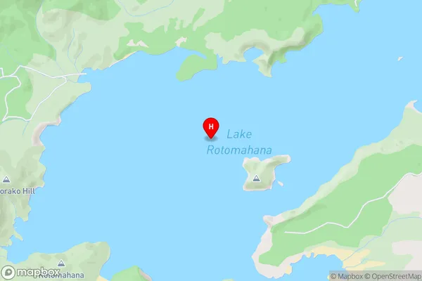
0 people live in Lake Rotomahana, Bay of Plenty, NZLake Rotomahana Suburb Area Map (Polygon)
Not available for nowLake Rotomahana Introduction
Lake Rotomahana, a volcanic lake in the Bay of Plenty region of New Zealand, is renowned for its unique shape and colorful history. The lake was formed by a massive eruption of Mount Tarawera in 1886, which destroyed the nearby village of Te Papa. Today, the lake is a popular tourist destination and a sacred site for the local Māori people.Region
Suburb Name
Lake RotomahanaLake Rotomahana Area Map (Street)
Local Authority
Rotorua DistrictFull Address
Lake Rotomahana, Rotorua District, New ZealandAddress Type
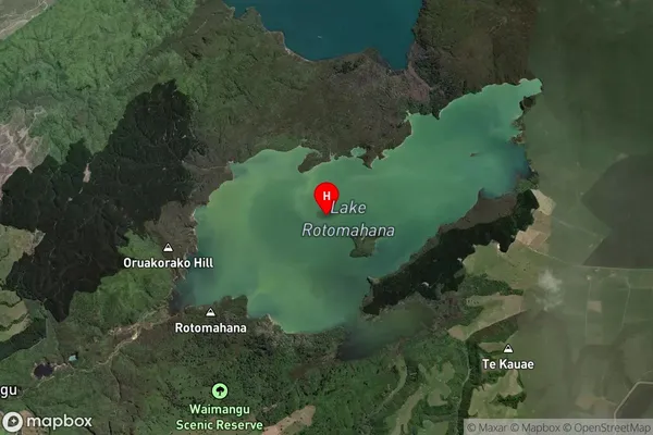
LakeLake Rotomahana Suburb Map (Satellite)
Country
Main Region in AU
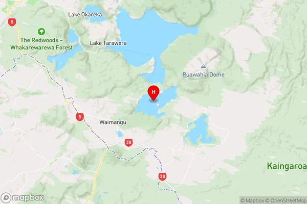
Bay of PlentyLake Rotomahana Region Map
Coordinates
-38.2646488,176.439699601174 (latitude/longitude)Distances
The distance from Lake Rotomahana, , Rotorua District to NZ Top 10 Cities