Enner Glynn Area, Enner Glynn Postcode(7011) & Map in Enner Glynn
Enner Glynn Area, Enner Glynn Postcode(7011) & Map in Enner Glynn, Nelson City, New Zealand
Enner Glynn, Nelson City, New Zealand
Enner Glynn Postcodes
Enner Glynn Area (estimated)
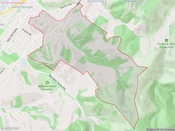
5.9 square kilometersEnner Glynn Population (estimated)
1955 people live in Enner Glynn, Nelson, NZEnner Glynn Suburb Area Map (Polygon)
Enner Glynn Introduction
Enner Glynn is a small rural community located in the Nelson region of New Zealand. It is situated on State Highway 6, approximately 12 kilometers south of Nelson city center. The area is known for its scenic rural landscapes, including rolling hills, vineyards, and picturesque farms. Enner Glynn has a population of around 1,000 people and is home to a variety of businesses, including a primary school, a post office, and a convenience store. The community is also popular with outdoor enthusiasts, who enjoy hiking, cycling, and fishing in the nearby Nelson Lakes National Park.Region
Major City
Suburb Name
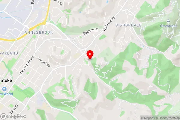
Enner GlynnEnner Glynn Area Map (Street)
Local Authority
Nelson CityFull Address
Enner Glynn, Nelson City, New ZealandAddress Type
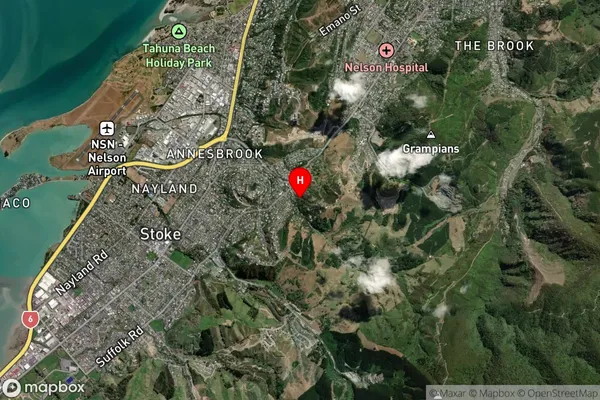
Suburb in City NelsonEnner Glynn Suburb Map (Satellite)
Country
Main Region in AU
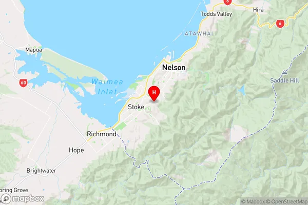
NelsonEnner Glynn Region Map
Coordinates
-41.3064065,173.2572913 (latitude/longitude)Distances
The distance from Enner Glynn, Nelson, Nelson City to NZ Top 10 Cities