Eltham Area, Eltham Postcode(4322) & Map in Eltham
Eltham Area, Eltham Postcode(4322) & Map in Eltham, South Taranaki District, New Zealand
Eltham, South Taranaki District, New Zealand
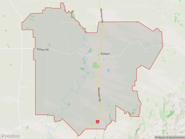
Eltham Area (estimated)
85.8 square kilometersEltham Population (estimated)
2688 people live in Eltham, Taranaki, NZEltham Suburb Area Map (Polygon)
Eltham Introduction
Eltham is a small town in Taranaki, New Zealand, known for its historic buildings and scenic surroundings. It is located on the banks of the Taranaki River and is surrounded by farmland and native bush. The town has a population of around 10,000 people and is home to a variety of shops, cafes, and restaurants. It is also a popular destination for outdoor activities such as hiking, cycling, and fishing.Region
Major City
Suburb Name
ElthamOther Name(s)
RotokareEltham Area Map (Street)
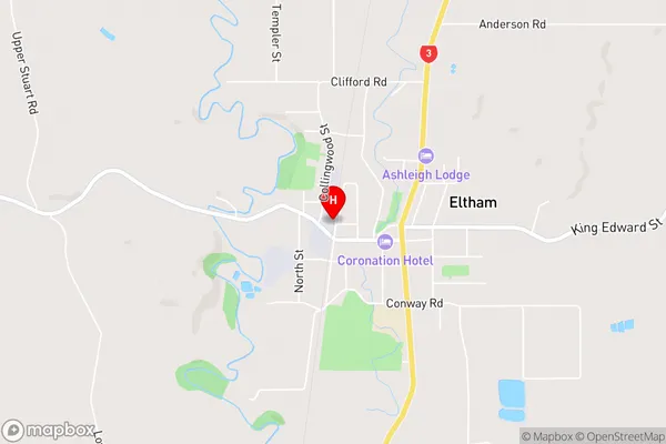
Local Authority
South Taranaki DistrictFull Address
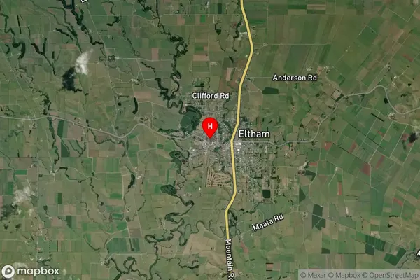
Eltham, South Taranaki District, New ZealandAddress Type
Suburb in Town ElthamEltham Suburb Map (Satellite)
Country
Main Region in AU
TaranakiEltham Region Map
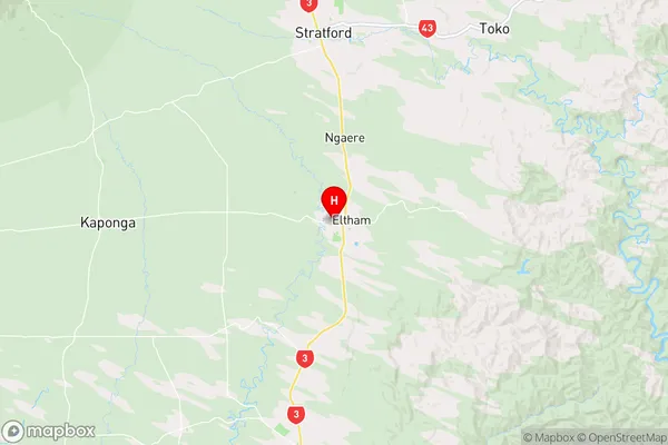
Coordinates
-39.4293949,174.2939945 (latitude/longitude)Distances
The distance from Eltham, Eltham, South Taranaki District to NZ Top 10 Cities