Ellerslie Area, Ellerslie Postcode(1051) & Map in Ellerslie
Ellerslie Area, Ellerslie Postcode(1051) & Map in Ellerslie, Auckland, New Zealand
Ellerslie, Auckland, New Zealand
Ellerslie Area (estimated)
3.8 square kilometersEllerslie Population (estimated)
10250 people live in Ellerslie, Ōrākei, NZEllerslie Suburb Area Map (Polygon)
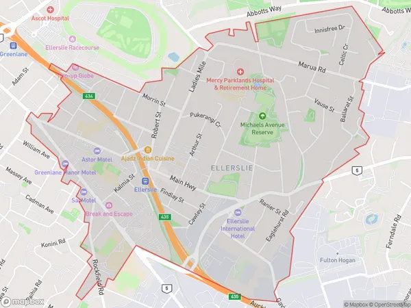
Ellerslie Introduction
Ellerslie is a suburb of Auckland, New Zealand, located in the Waitakere City Council area. It is known for its vibrant community, excellent schools, and convenient location, with easy access to the city center and surrounding areas. Ellerslie is also home to a number of parks and recreational facilities, including the Ellerslie Racecourse and the Ellerslie Sports Park.Region
Major City
Suburb Name
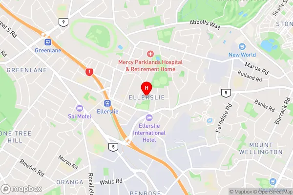
EllerslieEllerslie Area Map (Street)
Local Authority
AucklandFull Address
Ellerslie, Auckland, New ZealandAddress Type
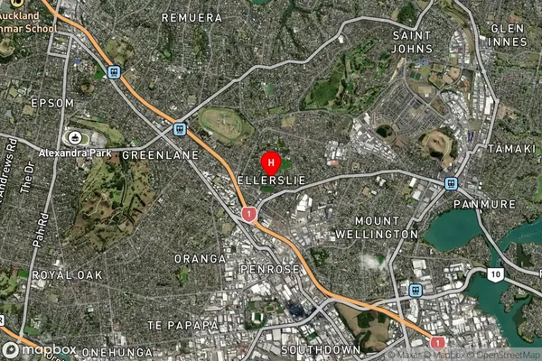
Suburb in City AucklandEllerslie Suburb Map (Satellite)
Country
Main Region in AU
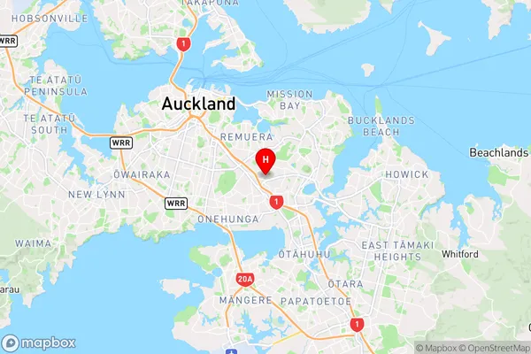
AucklandEllerslie Region Map
Coordinates
-36.897603,174.8150298 (latitude/longitude)Distances
The distance from Ellerslie, Auckland, Auckland to NZ Top 10 Cities