Elgin Area, Elgin Postcode(4010) & Map in Elgin
Elgin Area, Elgin Postcode(4010) & Map in Elgin, Gisborne District, New Zealand
Elgin, Gisborne District, New Zealand
Elgin Postcodes
Elgin Area (estimated)
1.2 square kilometersElgin Population (estimated)
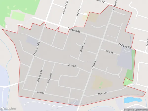
2631 people live in Elgin, Gisborne, NZElgin Suburb Area Map (Polygon)
Elgin Introduction
Elgin is a small town in the Gisborne region of New Zealand's North Island. It is known for its historic buildings, including the Elgin Masonic Lodge, which is one of the oldest Masonic lodges in the country. The town also has a beautiful river and a range of outdoor activities, including hiking, cycling, and fishing.Region
Major City
Suburb Name
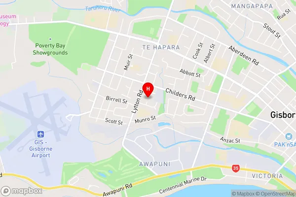
ElginElgin Area Map (Street)
Local Authority
Gisborne DistrictFull Address
Elgin, Gisborne District, New ZealandAddress Type
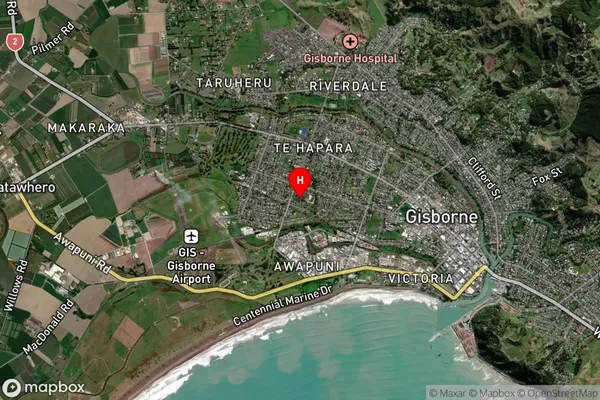
Suburb in Town GisborneElgin Suburb Map (Satellite)
Country
Main Region in AU
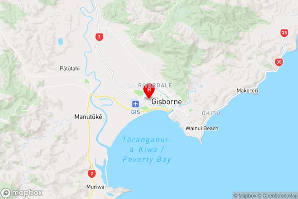
GisborneElgin Region Map
Coordinates
-38.6590975,177.9963791 (latitude/longitude)Distances
The distance from Elgin, Gisborne, Gisborne District to NZ Top 10 Cities