Apiti Area, Apiti Postcode(4774) & Map in Apiti
Apiti Area, Apiti Postcode(4774) & Map in Apiti, Manawatu District, New Zealand
Apiti, Manawatu District, New Zealand
Apiti Postcodes
Apiti Area (estimated)
179.8 square kilometersApiti Population (estimated)
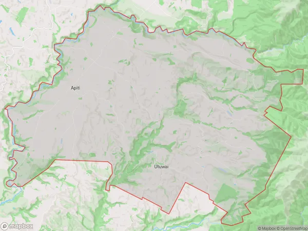
307 people live in Apiti, Hawke's Bay, NZApiti Suburb Area Map (Polygon)
Apiti Introduction
Apiti is a small town in the Hawke's Bay region of New Zealand, located about 30 minutes south of Hastings. It is known for its fertile farmland and historic railway station, which is now a popular tourist attraction. The town also has a community hall, a library, and a golf course.Region
Major City
Suburb Name
Apiti (Maori Name: Āpiti)Other Name(s)
Umutoi, UtuwaiApiti Area Map (Street)
Local Authority
Manawatu DistrictFull Address
Apiti, Manawatu District, New ZealandAddress Type
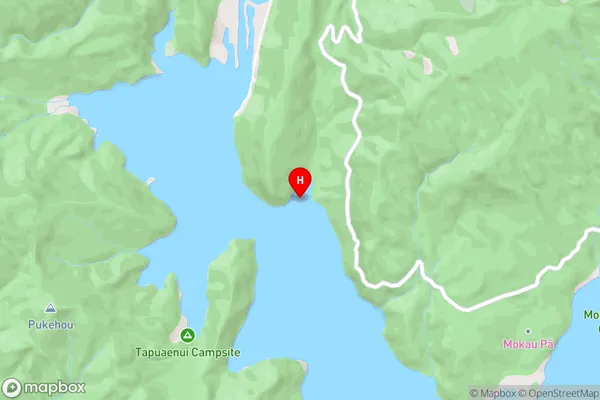
Locality in Major Locality ApitiApiti Suburb Map (Satellite)
Country
Main Region in AU
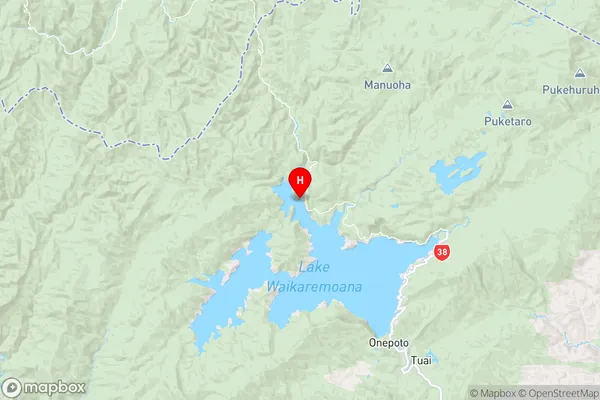
Hawke's BayApiti Region Map
Coordinates
-38.7268121,177.0616064 (latitude/longitude)Distances
The distance from Apiti, Apiti, Manawatu District to NZ Top 10 Cities