Elderslie Area, Elderslie Postcode & Map in Elderslie
Elderslie Area, Elderslie Postcode & Map in Elderslie, Waitaki District, New Zealand
Elderslie, Waitaki District, New Zealand
Elderslie Area (estimated)
14.3 square kilometersElderslie Population (estimated)
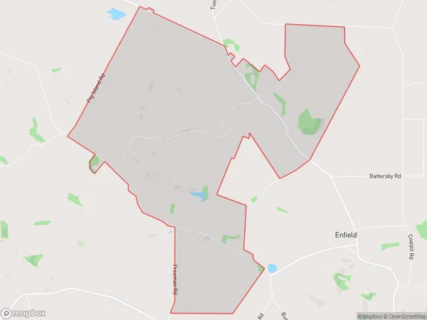
68 people live in Elderslie, Otago, NZElderslie Suburb Area Map (Polygon)
Elderslie Introduction
Elderslie is a small town in Otago, New Zealand, located 10 km south of Oamaru. It was established in 1860 and named after the Scottish town of Elderslie. The town has a population of around 3,000 people and is known for its historic buildings, including the Elderslie Hotel and the Elderslie School of Music. It is also home to the Elderslie Rugby Football Club and the Elderslie Cricket Club.Region
Major City
Suburb Name
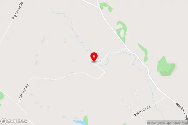
ElderslieElderslie Area Map (Street)
Local Authority
Waitaki DistrictFull Address
Elderslie, Waitaki District, New ZealandAddress Type
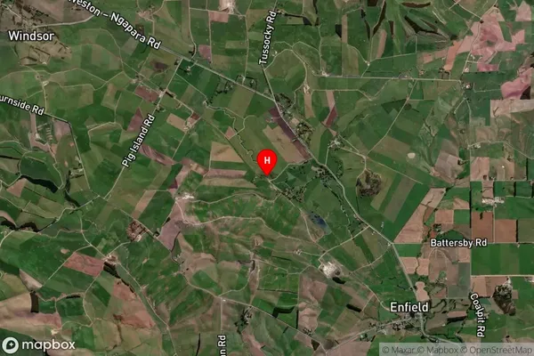
Locality in Town OamaruElderslie Suburb Map (Satellite)
Country
Main Region in AU
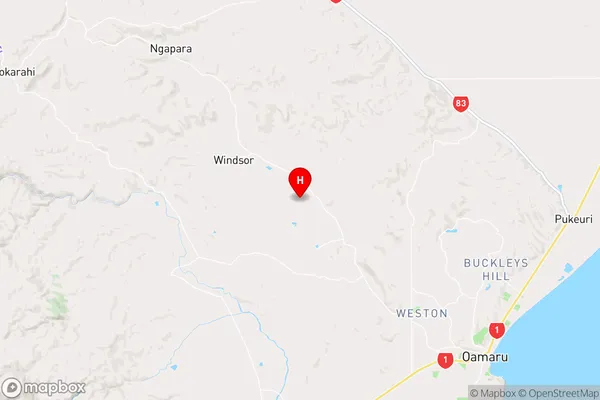
OtagoElderslie Region Map
Coordinates
-45.023735,170.8414578 (latitude/longitude)Distances
The distance from Elderslie, Oamaru, Waitaki District to NZ Top 10 Cities