Edendale Area, Edendale Postcode(9825) & Map in Edendale
Edendale Area, Edendale Postcode(9825) & Map in Edendale, Southland District, New Zealand
Edendale, Southland District, New Zealand
Edendale Area (estimated)
130.2 square kilometersEdendale Population (estimated)
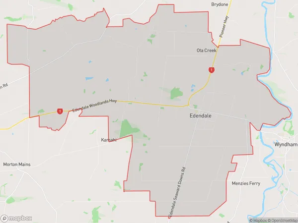
1002 people live in Edendale, Waihopai Toetoe Community, NZEdendale Suburb Area Map (Polygon)
Edendale Introduction
Edendale is a suburb of Southland, New Zealand, located 10 kilometers south of Invercargill city center. It is known for its beautiful gardens, historic homes, and vibrant community. The area was originally settled by German immigrants in the 1860s and has a strong German heritage. Today, Edendale is a popular residential area with a variety of housing options, including apartments, townhouses, and single-family homes. It is also home to several parks, recreational facilities, and shopping centers.Region
Major City
Suburb Name
EdendaleOther Name(s)
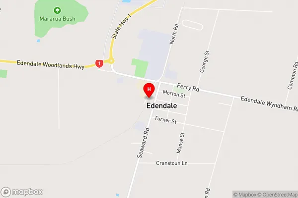
Ota Creek, Tuturau SouthEdendale Area Map (Street)
Local Authority
Southland DistrictFull Address
Edendale, Southland District, New ZealandAddress Type
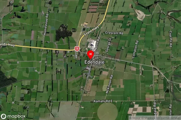
Suburb in Major Locality EdendaleEdendale Suburb Map (Satellite)
Country
Main Region in AU
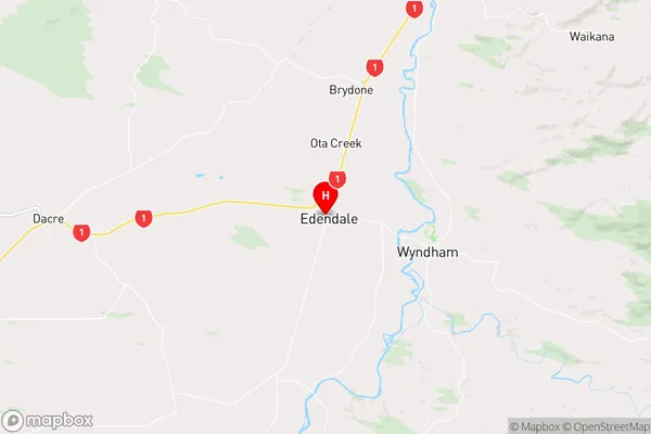
SouthlandEdendale Region Map
Coordinates
-46.313719,168.7830101 (latitude/longitude)Distances
The distance from Edendale, Edendale, Southland District to NZ Top 10 Cities