Dunedin Central Area, Dunedin Central Postcode(9054) & Map in Dunedin Central
Dunedin Central Area, Dunedin Central Postcode(9054) & Map in Dunedin Central, Dunedin City, New Zealand
Dunedin Central, Dunedin City, New Zealand
Dunedin Central Area (estimated)
5.3 square kilometersDunedin Central Population (estimated)
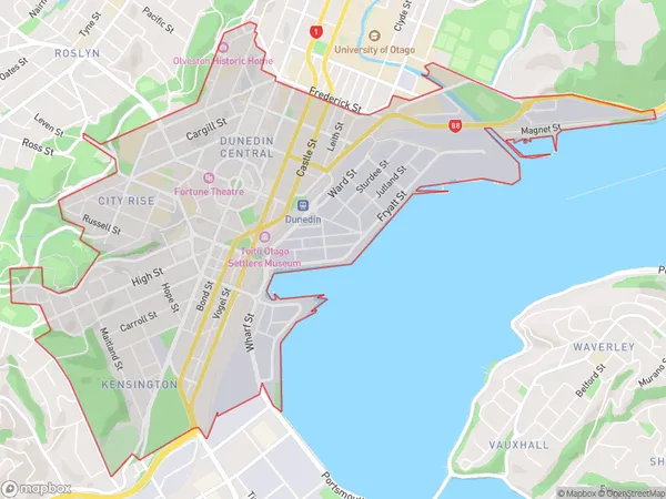
7808 people live in Dunedin Central, Dunedin, NZDunedin Central Suburb Area Map (Polygon)

Dunedin Central Introduction
'New Zealand postcode 9054 is located in the city of Waitakere, Auckland. It is a residential postcode area, and the average household income is around $100,000. The postcode covers a wide area, including the suburbs of Glen Eden, Henderson, and Waitakere City. The area is known for its diverse population and popular recreational areas, such as the Waitakere Ranges and the West Coast beaches.'Region
Major City
Suburb Name
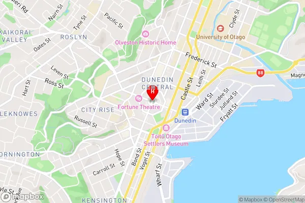
Dunedin CentralDunedin Central Area Map (Street)

Local Authority
Dunedin CityFull Address
Dunedin Central, Dunedin City, New ZealandAddress Type
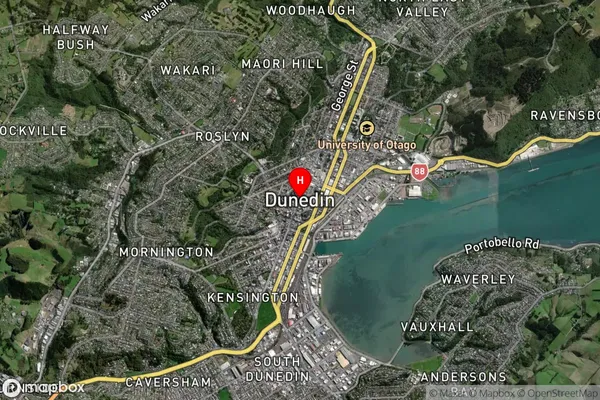
Suburb in City DunedinDunedin Central Suburb Map (Satellite)

Country
Main Region in AU
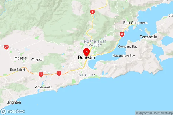
OtagoDunedin Central Region Map

Coordinates
-45.8741112,170.5036603 (latitude/longitude)Distances
The distance from Dunedin Central, Dunedin, Dunedin City to NZ Top 10 Cities