Dunearn Area, Dunearn Postcode & Map in Dunearn
Dunearn Area, Dunearn Postcode & Map in Dunearn, Southland District, New Zealand
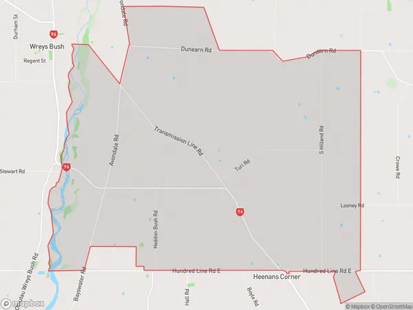
Dunearn, Southland District, New Zealand
Dunearn Area (estimated)
52.8 square kilometersDunearn Population (estimated)
131 people live in Dunearn, Wallace Takitimu Community, NZDunearn Suburb Area Map (Polygon)
Dunearn Introduction
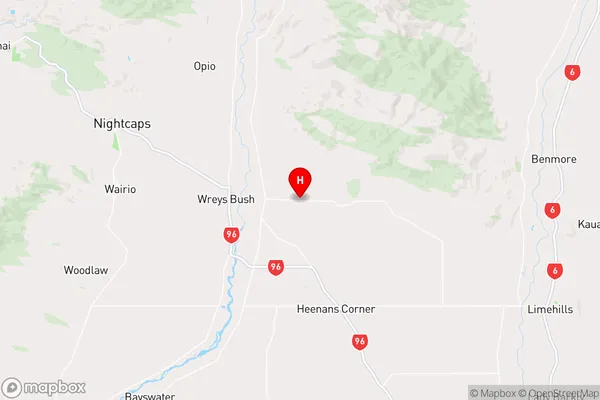
Dunearn is a small rural community in Southland, New Zealand. It is located on the banks of the Mataura River, 12 kilometers south of Winton. The area was first settled by Scottish settlers in the 1860s and has a rich history of farming and forestry. Today, Dunearn is a popular tourist destination and home to a variety of businesses and services. The community is known for its beautiful scenery, including the Mataura Mountains and the surrounding farmland.Region
Major City
Suburb Name
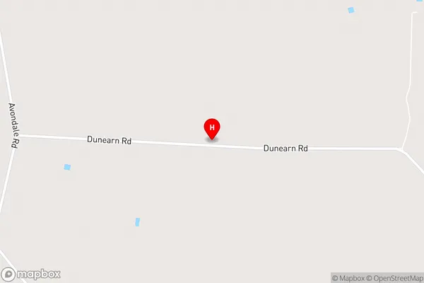
DunearnDunearn Area Map (Street)
Local Authority
Southland DistrictFull Address
Dunearn, Southland District, New ZealandAddress Type
Locality in Town WintonDunearn Suburb Map (Satellite)

Country
Main Region in AU
SouthlandDunearn Region Map
Coordinates
-46.0062921,168.1579614 (latitude/longitude)Distances
The distance from Dunearn, Winton, Southland District to NZ Top 10 Cities