Aorangi Area, Aorangi Postcode(4702) & Map in Aorangi
Aorangi Area, Aorangi Postcode(4702) & Map in Aorangi, Manawatu District, New Zealand
Aorangi, Manawatu District, New Zealand
Aorangi Postcodes
Aorangi Area (estimated)
30.4 square kilometersAorangi Population (estimated)
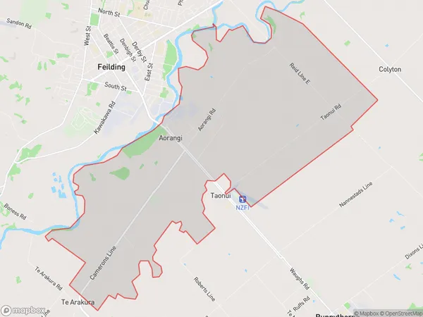
458 people live in Aorangi, Manawatu-Wanganui, NZAorangi Suburb Area Map (Polygon)
Aorangi Introduction
Aorangi is a small town in the Manawatu-Wanganui region of New Zealand. It is situated on the banks of the Aorangi River and is known for its stunning natural scenery, including the Aorangi Forest Park. The town has a population of around 1,000 people and is a popular destination for outdoor activities such as hiking, cycling, and fishing. It is also home to the Aorangi Arts Centre, which hosts a variety of cultural events and exhibitions throughout the year.Region
Major City
Suburb Name
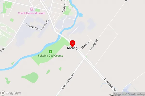
AorangiAorangi Area Map (Street)
Local Authority
Manawatu DistrictFull Address
Aorangi, Manawatu District, New ZealandAddress Type
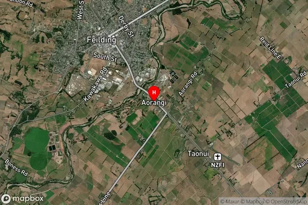
Locality in Town FeildingAorangi Suburb Map (Satellite)
Country
Main Region in AU
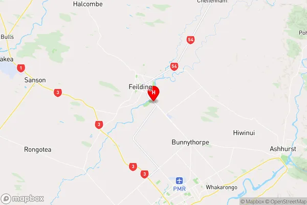
Manawatu-WanganuiAorangi Region Map
Coordinates
-40.2420292,175.5821114 (latitude/longitude)Distances
The distance from Aorangi, Feilding, Manawatu District to NZ Top 10 Cities