Kaitoke Lake Area, Kaitoke Lake Postcode & Map in Kaitoke Lake
Kaitoke Lake Area, Kaitoke Lake Postcode & Map in Kaitoke Lake, Whanganui District, New Zealand
Kaitoke Lake, Whanganui District, New Zealand
Kaitoke Lake Area (estimated)
0.3 square kilometersKaitoke Lake Population (estimated)
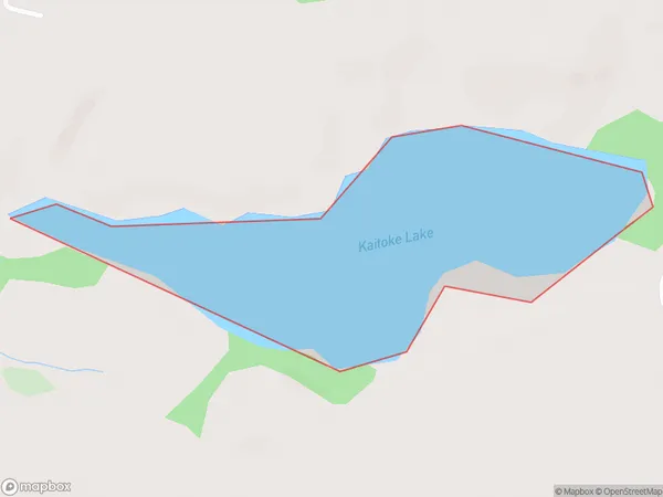
0 people live in Kaitoke Lake, Whanganui, NZKaitoke Lake Suburb Area Map (Polygon)
Kaitoke Lake Introduction
Kaitoke Lake is a small, shallow lake located in the Manawatu-Wanganui region of New Zealand. It is known for its clear waters and surrounding native forests, making it a popular spot for fishing, boating, and hiking. The lake is also home to a variety of bird species, including the rare and endangered kiwi.Region
Major City
Suburb Name
Kaitoke LakeKaitoke Lake Area Map (Street)

Local Authority
Whanganui DistrictFull Address
Kaitoke Lake, Whanganui District, New ZealandAddress Type
LakeKaitoke Lake Suburb Map (Satellite)

Country
Main Region in AU
Manawatu-WanganuiKaitoke Lake Region Map

Coordinates
-39.96263935,175.072699142257 (latitude/longitude)Distances
The distance from Kaitoke Lake, , Whanganui District to NZ Top 10 Cities