Drybread Area, Drybread Postcode & Map in Drybread
Drybread Area, Drybread Postcode & Map in Drybread, Central Otago District, New Zealand
Drybread, Central Otago District, New Zealand
Drybread Area (estimated)
65.7 square kilometersDrybread Population (estimated)
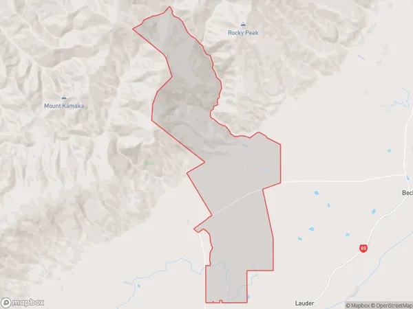
30 people live in Drybread, Vincent Community, NZDrybread Suburb Area Map (Polygon)
Drybread Introduction
Omakau is a small town in Otago, New Zealand, located on State Highway 1. It is known for its drybread, which is a type of flatbread made from wheat flour, water, and salt. The bread is traditionally baked in a clay oven and has a unique texture and flavor. Omakau is also home to a popular cheese factory, which produces a variety of cheeses using local milk. The town has a population of around 200 people and is surrounded by stunning countryside.Region
Major City
Suburb Name
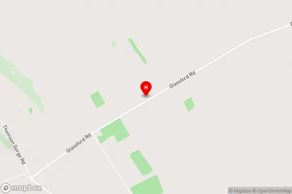
DrybreadDrybread Area Map (Street)
Local Authority
Central Otago DistrictFull Address
Drybread, Central Otago District, New ZealandAddress Type
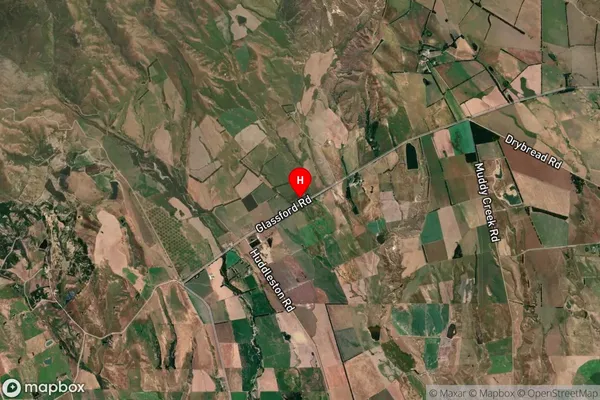
Locality in Major Locality OmakauDrybread Suburb Map (Satellite)
Country
Main Region in AU
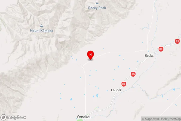
OtagoDrybread Region Map
Coordinates
-45.0038178,169.6132851 (latitude/longitude)Distances
The distance from Drybread, Omakau, Central Otago District to NZ Top 10 Cities