Idaburn Dam Area, Idaburn Dam Postcode & Map in Idaburn Dam
Idaburn Dam Area, Idaburn Dam Postcode & Map in Idaburn Dam, Central Otago District, New Zealand
Idaburn Dam, Central Otago District, New Zealand
Idaburn Dam Area (estimated)
0.1 square kilometersIdaburn Dam Population (estimated)
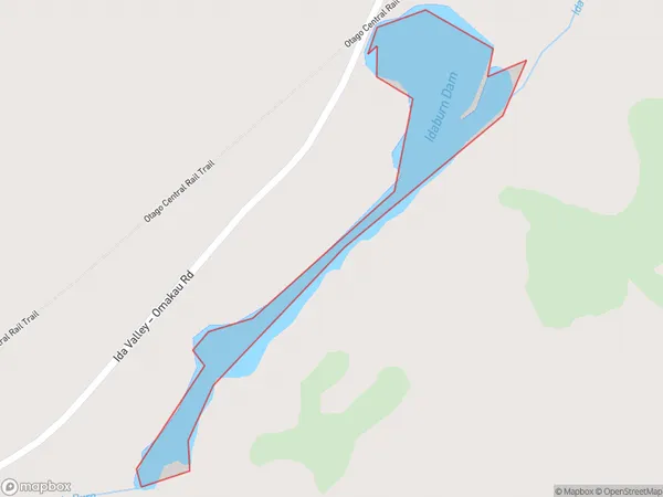
0 people live in Idaburn Dam, Otago, NZIdaburn Dam Suburb Area Map (Polygon)
Idaburn Dam Introduction
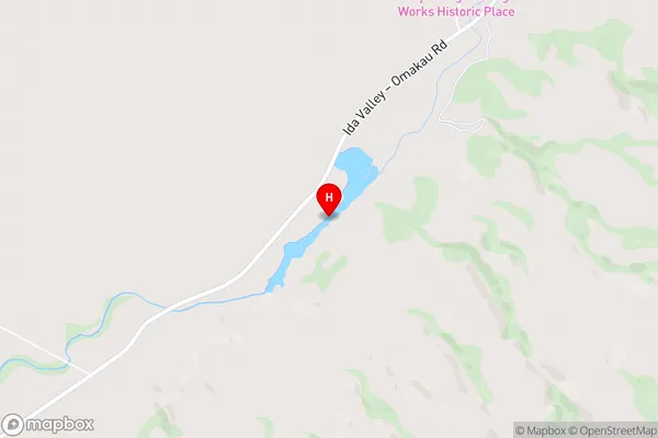
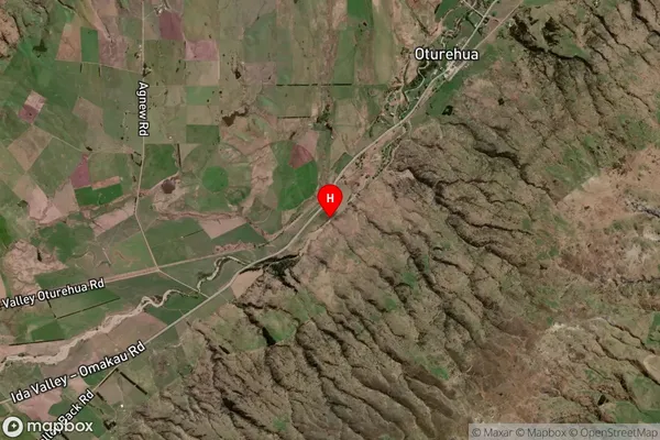
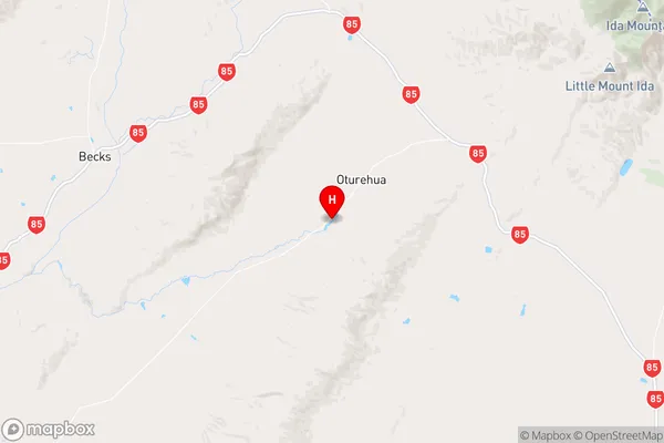
Idaburn Dam is a hydroelectric dam in Otago, New Zealand, built in 1972. It is located on the Clutha River, 12 km downstream from Alexandra. The dam generates 125 MW of electricity and controls flooding in the Clutha Valley. It also provides water for irrigation, domestic use, and hydroelectric power generation.Region
Suburb Name
Idaburn DamIdaburn Dam Area Map (Street)
Local Authority
Central Otago DistrictFull Address
Idaburn Dam, Central Otago District, New ZealandAddress Type
LakeIdaburn Dam Suburb Map (Satellite)
Country
Main Region in AU
OtagoIdaburn Dam Region Map
Coordinates
-45.02434835,169.893800416909 (latitude/longitude)Distances
The distance from Idaburn Dam, , Central Otago District to NZ Top 10 Cities