Fraser Dam Area, Fraser Dam Postcode & Map in Fraser Dam
Fraser Dam Area, Fraser Dam Postcode & Map in Fraser Dam, Central Otago District, New Zealand
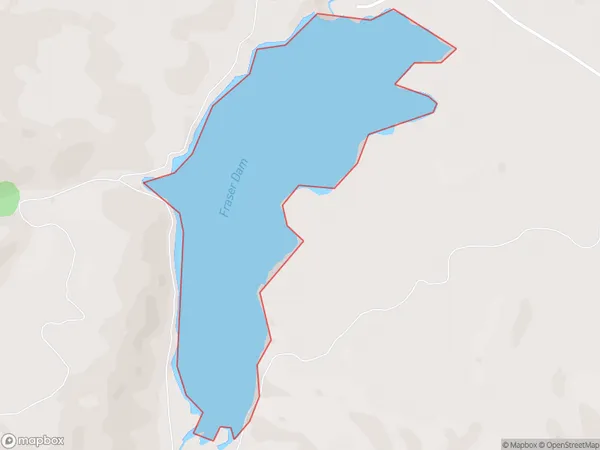
Fraser Dam, Central Otago District, New Zealand
Fraser Dam Area (estimated)
0.6 square kilometersFraser Dam Population (estimated)
0 people live in Fraser Dam, Vincent Community, NZFraser Dam Suburb Area Map (Polygon)
Fraser Dam Introduction
Fraser Dam is a concrete gravity dam in the South Island of New Zealand, constructed between 1939 and 1942 for hydroelectric power generation and irrigation. It lies in the Otago region, 120 kilometers southeast of Dunedin. The dam wall stands 183 meters high and holds back 1.3 billion cubic meters of water.Region
Major City
Suburb Name
Fraser DamFraser Dam Area Map (Street)

Local Authority
Central Otago DistrictFull Address
Fraser Dam, Central Otago District, New ZealandAddress Type
LakeFraser Dam Suburb Map (Satellite)

Country
Main Region in AU
OtagoFraser Dam Region Map

Coordinates
-45.212611,169.210457630311 (latitude/longitude)Distances
The distance from Fraser Dam, , Central Otago District to NZ Top 10 Cities