Addington Area, Addington Postcode(8149) & Map in Addington
Addington Area, Addington Postcode(8149) & Map in Addington, Christchurch City, New Zealand
Addington, Christchurch City, New Zealand
Addington Area (estimated)
3.5 square kilometersAddington Population (estimated)
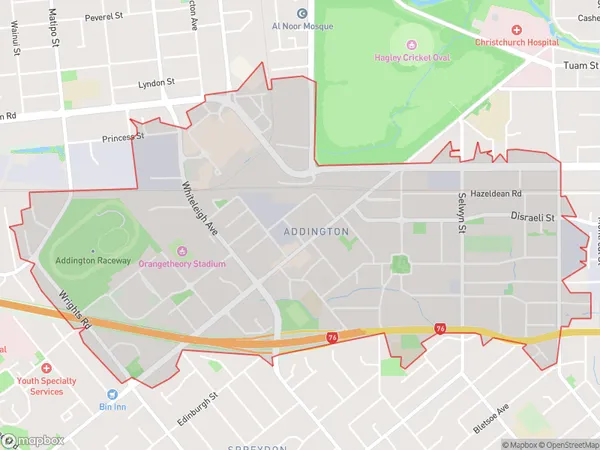
6379 people live in Addington, Spreydon-Cashmere Community, NZAddington Suburb Area Map (Polygon)
Addington Introduction
Addington is a suburb of Christchurch, New Zealand, located in the city's east. It is known for its diverse population and vibrant community, with a mix of residential areas, retail spaces, and recreational facilities. The suburb has a strong sense of community spirit and is home to many cultural and religious institutions. It is also well-connected to other parts of the city, with easy access to the central business district and the airport.Region
Major City
Suburb Name
AddingtonOther Name(s)
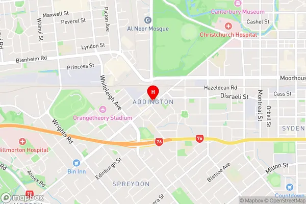
BarringtonAddington Area Map (Street)
Local Authority
Christchurch CityFull Address
Addington, Christchurch City, New ZealandAddress Type
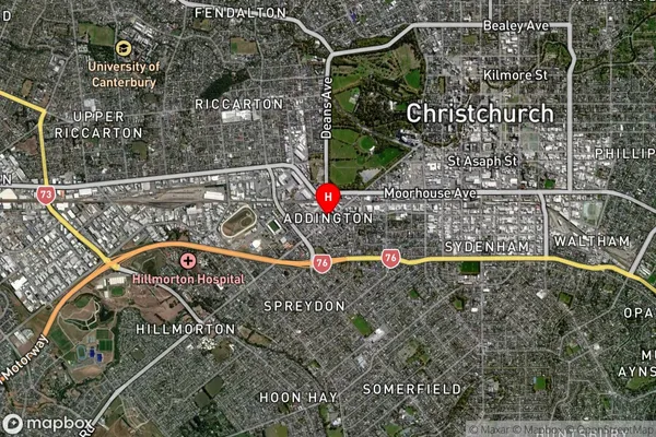
Suburb in City ChristchurchAddington Suburb Map (Satellite)
Country
Main Region in AU
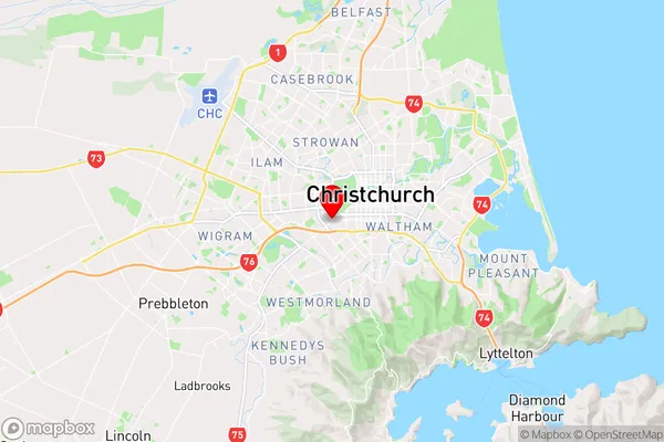
CanterburyAddington Region Map
Coordinates
-43.5429362,172.6125849 (latitude/longitude)Distances
The distance from Addington, Christchurch, Christchurch City to NZ Top 10 Cities