Dorie Area, Dorie Postcode(7781) & Map in Dorie
Dorie Area, Dorie Postcode(7781) & Map in Dorie, Ashburton District, New Zealand
Dorie, Ashburton District, New Zealand
Dorie Postcodes
Dorie Area (estimated)
138.6 square kilometersDorie Population (estimated)
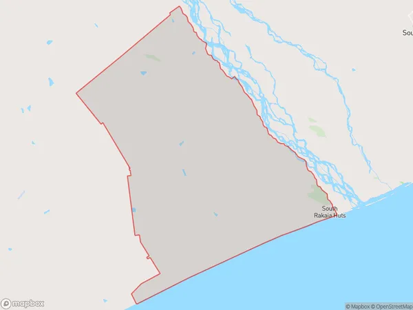
447 people live in Dorie, Canterbury, NZDorie Suburb Area Map (Polygon)
Dorie Introduction
Dorie, Dorie, Canterbury, New Zealand, is a small rural town located in the Canterbury Plains, 12 kilometers south of Christchurch. It was established in 1857 and named after the town of Dorie in France. The town has a population of around 500 people and is known for its historic buildings, including the St. Paul's Anglican Church and the Dorie Hotel. The area is popular for farming and tourism, with nearby attractions such as the Rakaia Gorge and the Hanmer Springs Thermal Reserve.Region
0Suburb Name
DorieOther Name(s)
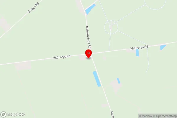
Kyle, Rakaia Huts South Bank, South Rakaia HutsDorie Area Map (Street)
Local Authority
Ashburton DistrictFull Address
Dorie, Ashburton District, New ZealandAddress Type
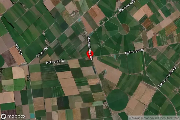
Locality in Major Locality DorieDorie Suburb Map (Satellite)
Country
Main Region in AU
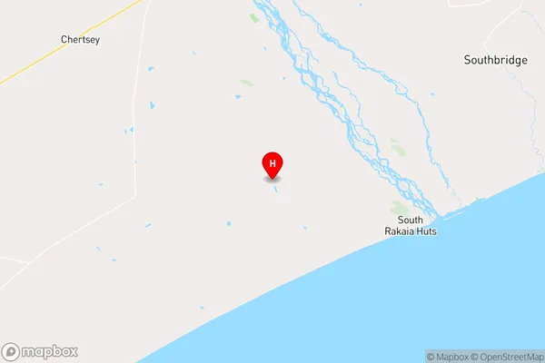
CanterburyDorie Region Map
Coordinates
-43.8783067,172.0857293 (latitude/longitude)Distances
The distance from Dorie, Dorie, Ashburton District to NZ Top 10 Cities