Glenfield Area, Glenfield Postcode(0629) & Map in Glenfield
Glenfield Area, Glenfield Postcode(0629) & Map in Glenfield, Auckland, New Zealand
Glenfield, Auckland, New Zealand
Glenfield Area (estimated)
6.3 square kilometersGlenfield Population (estimated)
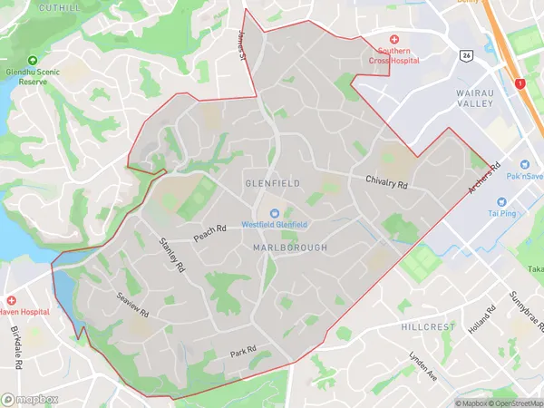
18905 people live in Glenfield, Kaipātiki, NZGlenfield Suburb Area Map (Polygon)
Glenfield Introduction
Glenfield is a suburb in Auckland, New Zealand, with a population of around 15,000 people. It is located in the eastern part of the city and is known for its large shopping mall, Glenfield Park, and its proximity to the Auckland Airport. The suburb has a mix of residential and commercial properties and is popular with families and young professionals.Region
Major City
Suburb Name
GlenfieldOther Name(s)
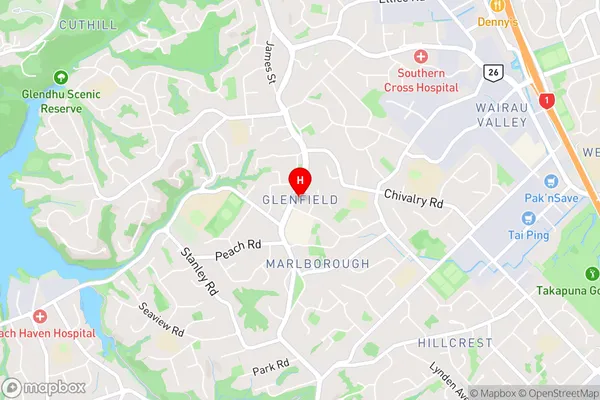
Glenfield North, Marlborough, Meadowood, Windy RidgeGlenfield Area Map (Street)
Local Authority
AucklandFull Address
Glenfield, Auckland, New ZealandAddress Type
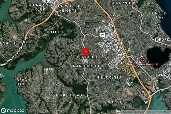
Suburb in City AucklandGlenfield Suburb Map (Satellite)
Country
Main Region in AU
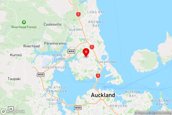
AucklandGlenfield Region Map
Coordinates
-36.7802226,174.7224999 (latitude/longitude)Distances
The distance from Glenfield, Auckland, Auckland to NZ Top 10 Cities