Hobsonville Area, Hobsonville Postcode(0618) & Map in Hobsonville
Hobsonville Area, Hobsonville Postcode(0618) & Map in Hobsonville, Auckland, New Zealand
Hobsonville, Auckland, New Zealand
Hobsonville Postcodes
Hobsonville Area (estimated)
-1.2 square kilometersHobsonville Population (estimated)
10704 people live in Hobsonville, Upper Harbour, NZHobsonville Suburb Area Map (Polygon)
Not available for nowHobsonville Introduction
Hobsonville is a suburb in Auckland, New Zealand, with a population of around 20,000 people. It is located in the northwest of the city and is known for its modern housing, good schools, and convenient location for commuting to the city center. The suburb has a variety of shops, restaurants, and recreational facilities, including a swimming pool and a golf course. Hobsonville Point is a popular destination for boaties and water sports enthusiasts, with its sheltered harbor and access to the Waitemata Harbour.Region
Major City
Suburb Name
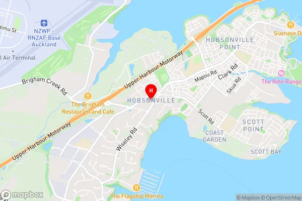
HobsonvilleHobsonville Area Map (Street)
Local Authority
AucklandFull Address
Hobsonville, Auckland, New ZealandAddress Type
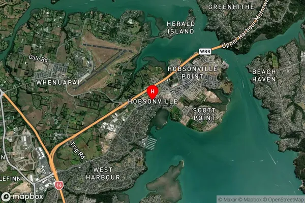
Suburb in City AucklandHobsonville Suburb Map (Satellite)
Country
Main Region in AU
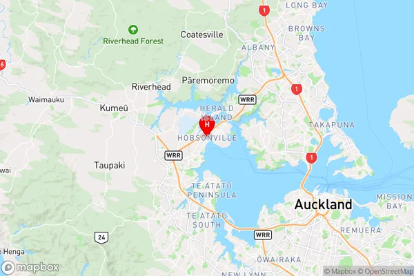
AucklandHobsonville Region Map
Coordinates
-36.799239,174.6473532 (latitude/longitude)Distances
The distance from Hobsonville, Auckland, Auckland to NZ Top 10 Cities