Opunake Area, Opunake Postcode(4616) & Map in Opunake
Opunake Area, Opunake Postcode(4616) & Map in Opunake, South Taranaki District, New Zealand
Opunake, South Taranaki District, New Zealand
Opunake Area (estimated)
201.2 square kilometersOpunake Population (estimated)
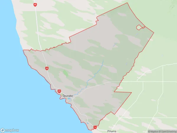
2152 people live in Opunake, Taranaki, NZOpunake Suburb Area Map (Polygon)

Opunake Introduction
Opunake is a small town located in Taranaki, New Zealand. It is known for its stunning coastal scenery, including the Opunake Beach and the Opunake Volcanic Loop. The town has a population of around 1,000 people and is a popular destination for tourists and outdoor enthusiasts. The area is rich in history, with evidence of early Māori settlement and European colonization. The town also has a number of cafes, restaurants, and shops, making it a convenient place to stop for a break during a road trip.Region
Major City
Suburb Name
Opunake (Maori Name: Ōpunake)Other Name(s)
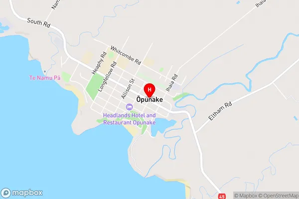
Ihaia, Taungatara, WaiteikaOpunake Area Map (Street)

Local Authority
South Taranaki DistrictFull Address
Opunake, South Taranaki District, New ZealandAddress Type
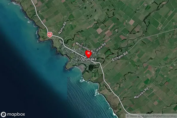
Suburb in Town OpunakeOpunake Suburb Map (Satellite)

Country
Main Region in AU
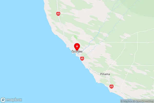
TaranakiOpunake Region Map

Coordinates
-39.4546624,173.8601616 (latitude/longitude)Distances
The distance from Opunake, Opunake, South Taranaki District to NZ Top 10 Cities