Lake Ferry Area, Lake Ferry Postcode & Map in Lake Ferry
Lake Ferry Area, Lake Ferry Postcode & Map in Lake Ferry, South Wairarapa District, New Zealand
Lake Ferry, South Wairarapa District, New Zealand
Lake Ferry Area (estimated)
12.1 square kilometersLake Ferry Population (estimated)
116 people live in Lake Ferry, Martinborough Community, NZLake Ferry Suburb Area Map (Polygon)
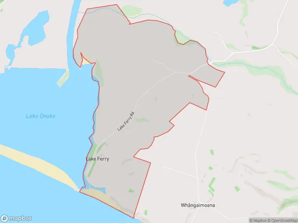
Lake Ferry Introduction
Lake Ferry is a small settlement on the shores of Lake Ferry in the Wellington region of New Zealand. It is located about 20 kilometers south of Wellington city and is a popular destination for outdoor activities such as fishing, boating, and hiking. The settlement has a population of around 500 people and is known for its peaceful and scenic surroundings. The lake is also home to a variety of bird species, including the rare black swan.Region
Major City
Suburb Name
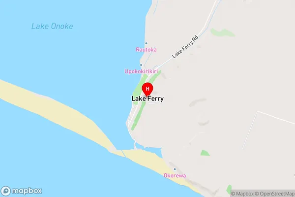
Lake FerryLake Ferry Area Map (Street)
Local Authority
South Wairarapa DistrictFull Address
Lake Ferry, South Wairarapa District, New ZealandAddress Type
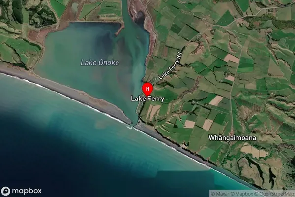
Locality in Town FeatherstonLake Ferry Suburb Map (Satellite)
Country
Main Region in AU
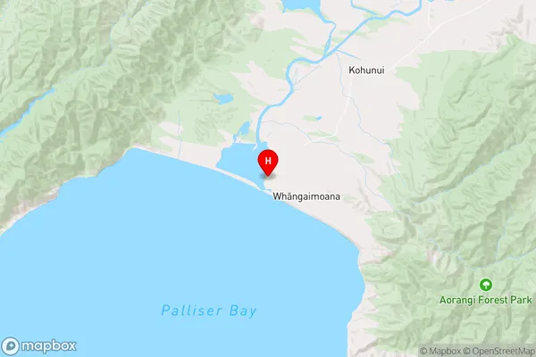
WellingtonLake Ferry Region Map
Coordinates
-41.3906208,175.1469169 (latitude/longitude)Distances
The distance from Lake Ferry, Featherston, South Wairarapa District to NZ Top 10 Cities