Whakaki Area, Whakaki Postcode(4108) & Map in Whakaki
Whakaki Area, Whakaki Postcode(4108) & Map in Whakaki, Wairoa District, New Zealand
Whakaki, Wairoa District, New Zealand
Whakaki Postcodes
Whakaki Area (estimated)
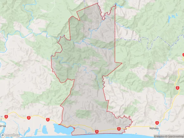
232.7 square kilometersWhakaki Population (estimated)
179 people live in Whakaki, Hawke's Bay, NZWhakaki Suburb Area Map (Polygon)
Whakaki Introduction
Whakaki is a small rural community located in Hawke's Bay, New Zealand. It is known for its beautiful beaches, stunning natural scenery, and friendly locals. The area has a rich history and is home to several historic buildings and landmarks, including the Whakaki Mission Station and the Whakaki River. Whakaki is also a popular destination for outdoor enthusiasts, with many opportunities for hiking, cycling, and fishing.Region
0Suburb Name
WhakakiOther Name(s)
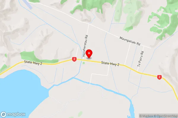
Tahaenui, TukemokihiWhakaki Area Map (Street)
Local Authority
Wairoa DistrictFull Address
Whakaki, Wairoa District, New ZealandAddress Type
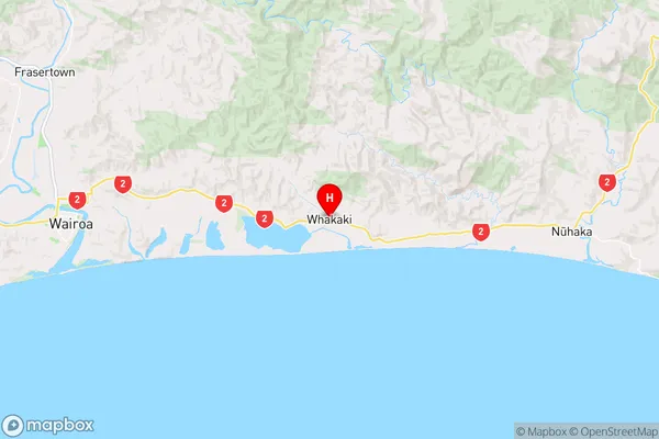
Locality in Major Locality WhakakiWhakaki Suburb Map (Satellite)

Country
Main Region in AU
Hawke's BayWhakaki Region Map
Coordinates
-39.0373194,177.5886512 (latitude/longitude)Distances
The distance from Whakaki, Whakaki, Wairoa District to NZ Top 10 Cities