Te Araroa Area, Te Araroa Postcode(4087) & Map in Te Araroa
Te Araroa Area, Te Araroa Postcode(4087) & Map in Te Araroa, Gisborne District, New Zealand
Te Araroa, Gisborne District, New Zealand
Te Araroa Area (estimated)
410.4 square kilometersTe Araroa Population (estimated)
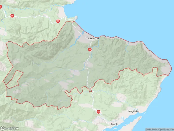
569 people live in Te Araroa, Gisborne, NZTe Araroa Suburb Area Map (Polygon)
Te Araroa Introduction
Te Araroa is a 3,000-kilometer (1,864 mi) hiking trail in New Zealand that traverses the length of the North Island. It was completed in 2018 and is the longest hiking trail in the world. The trail passes through diverse landscapes, including forests, beaches, and mountains, and offers stunning views of the coastline and countryside. It is a popular destination for outdoor enthusiasts and adventurers from around the world.Region
Major City
Suburb Name
Te AraroaOther Name(s)
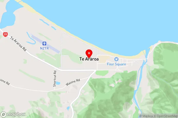
Awatere, Horoera, Tokata, WhakaangiangiTe Araroa Area Map (Street)
Local Authority
Gisborne DistrictFull Address
Te Araroa, Gisborne District, New ZealandAddress Type
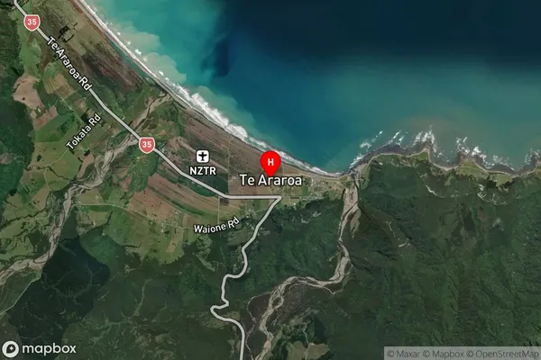
Locality in Major Locality Te AraroaTe Araroa Suburb Map (Satellite)
Country
Main Region in AU
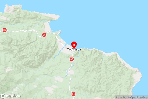
GisborneTe Araroa Region Map
Coordinates
-37.6330949,178.3610171 (latitude/longitude)Distances
The distance from Te Araroa, Te Araroa, Gisborne District to NZ Top 10 Cities