Kereta Area, Kereta Postcode(3500) & Map in Kereta
Kereta Area, Kereta Postcode(3500) & Map in Kereta, Thames-Coromandel District, New Zealand
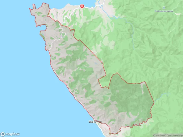
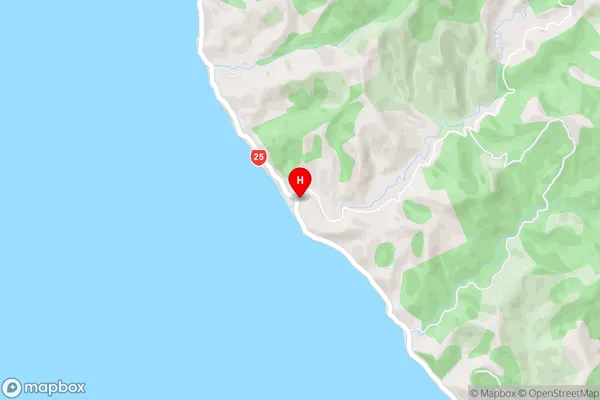
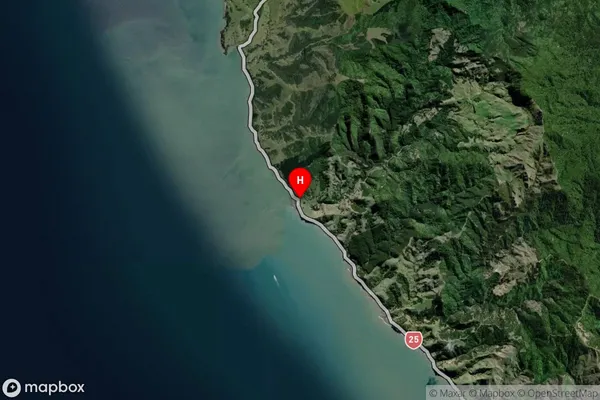
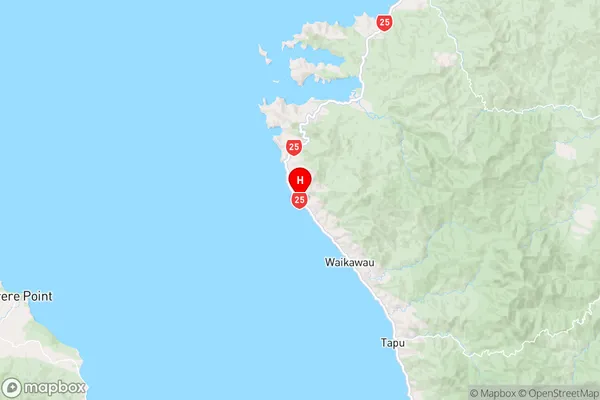
Kereta, Thames-Coromandel District, New Zealand
Kereta Postcodes
Kereta Area (estimated)
50.4 square kilometersKereta Population (estimated)
119 people live in Kereta, Waikato, NZKereta Suburb Area Map (Polygon)
Kereta Introduction
Kereta is a small town in the Waikato region of New Zealand. It is located on State Highway 1, approximately 30 kilometers south of Hamilton. The town has a population of around 500 people and is known for its historic railway station, which is now a museum. The town also has a primary school and a community hall. Kereta is surrounded by farmland and has a peaceful rural atmosphere. The nearby Waikato River provides opportunities for fishing and swimming.Region
0Suburb Name
KeretaKereta Area Map (Street)
Local Authority
Thames-Coromandel DistrictFull Address
Kereta, Thames-Coromandel District, New ZealandAddress Type
Locality in Town ThamesKereta Suburb Map (Satellite)
Country
Main Region in AU
WaikatoKereta Region Map
Coordinates
-36.9062725,175.435671 (latitude/longitude)Distances
The distance from Kereta, Thames, Thames-Coromandel District to NZ Top 10 Cities