Pakuranga Area, Pakuranga Postcode(2010) & Map in Pakuranga
Pakuranga Area, Pakuranga Postcode(2010) & Map in Pakuranga, Auckland, New Zealand
Pakuranga, Auckland, New Zealand
Pakuranga Area (estimated)
4.2 square kilometersPakuranga Population (estimated)
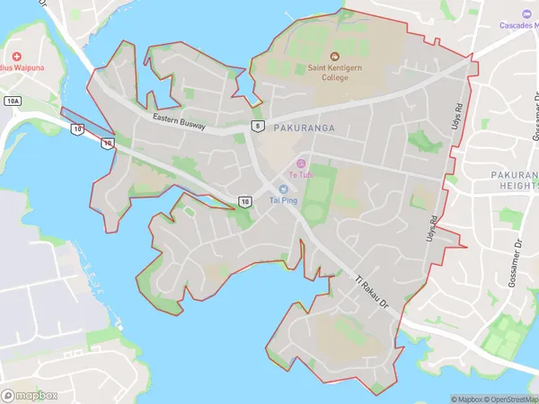
10030 people live in Pakuranga, Howick, NZPakuranga Suburb Area Map (Polygon)
Pakuranga Introduction
Pakuranga is a suburb in Auckland, New Zealand, with a population of around 40,000 people. It is located in the eastern suburbs of the city and is known for its lush green spaces, including Pakuranga Park and the Pakuranga Creek Reserve. The suburb has a variety of shops, restaurants, and recreational facilities, including a golf course and a swimming pool. It is also home to several educational institutions, including Pakuranga College and St. Kentigern College.Region
Major City
Suburb Name
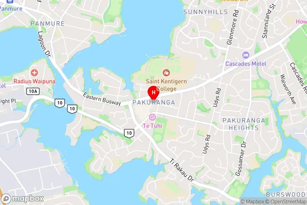
PakurangaPakuranga Area Map (Street)
Local Authority
AucklandFull Address
Pakuranga, Auckland, New ZealandAddress Type
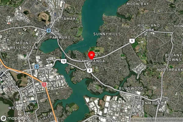
Suburb in City AucklandPakuranga Suburb Map (Satellite)
Country
Main Region in AU
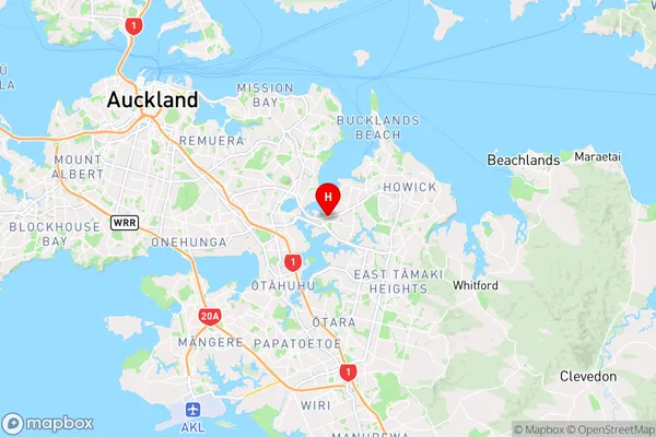
AucklandPakuranga Region Map
Coordinates
-36.9118166,174.8733684 (latitude/longitude)Distances
The distance from Pakuranga, Auckland, Auckland to NZ Top 10 Cities