Panmure Area, Panmure Postcode(1741) & Map in Panmure
Panmure Area, Panmure Postcode(1741) & Map in Panmure, Auckland, New Zealand
Panmure, Auckland, New Zealand
Panmure Area (estimated)
2.9 square kilometersPanmure Population (estimated)
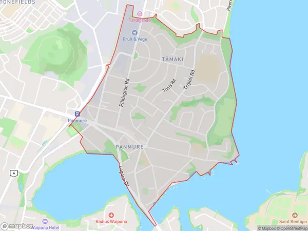
7749 people live in Panmure, Maungakiekie-Tāmaki, NZPanmure Suburb Area Map (Polygon)
Panmure Introduction
Panmure is a suburb in Auckland, New Zealand, with a population of around 10,000 people. It is located in the Eastern Suburbs and is known for its historic homes and gardens. The suburb has a variety of shops, cafes, and restaurants, as well as a community center and library. Panmure also has a popular swimming beach and is close to other attractions such as the Auckland Zoo and the Botanic Gardens.Region
Major City
Suburb Name
PanmureOther Name(s)
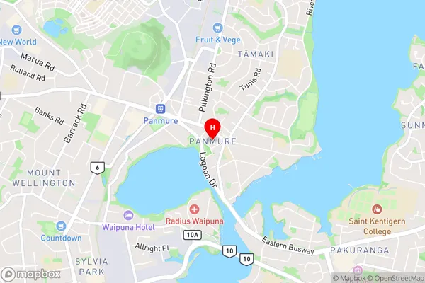
TamakiPanmure Area Map (Street)
Local Authority
AucklandFull Address
Panmure, Auckland, New ZealandAddress Type
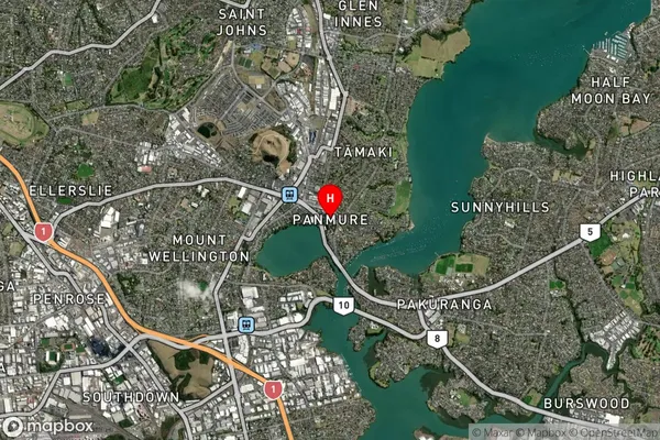
Suburb in City AucklandPanmure Suburb Map (Satellite)
Country
Main Region in AU
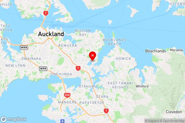
AucklandPanmure Region Map
Coordinates
-36.90125,174.855573 (latitude/longitude)Distances
The distance from Panmure, Auckland, Auckland to NZ Top 10 Cities