Point England Area, Point England Postcode(1072) & Map in Point England
Point England Area, Point England Postcode(1072) & Map in Point England, Auckland, New Zealand
Point England, Auckland, New Zealand
Point England Area (estimated)
1.9 square kilometersPoint England Population (estimated)
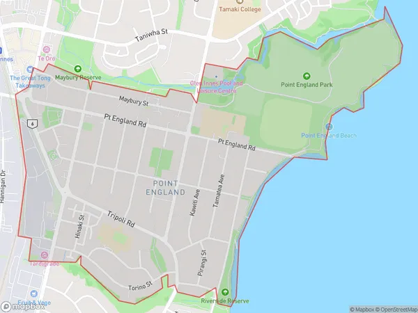
5156 people live in Point England, Maungakiekie-Tāmaki, NZPoint England Suburb Area Map (Polygon)
Point England Introduction
Point England is a suburb of Auckland, New Zealand, located on the southeastern coast of the Waitemata Harbour. It is known for its historic lighthouse and scenic views of the harbor. The area has a rich history, with early European settlers and Maori tribes living in the area. Today, Point England is a popular residential area with a variety of housing options, including apartments, townhouses, and single-family homes. It is also home to several schools, parks, and recreational facilities.Region
Major City
Suburb Name
Point EnglandOther Name(s)
Pt EnglandPoint England Area Map (Street)
Local Authority
AucklandFull Address
Point England, Auckland, New ZealandAddress Type
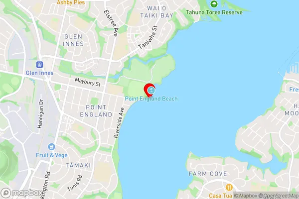
Suburb in City AucklandPoint England Suburb Map (Satellite)
Country
Main Region in AU
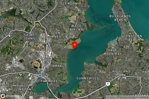
AucklandPoint England Region Map
Coordinates
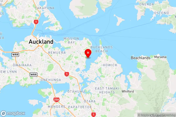
-36.8836969,174.8730913 (latitude/longitude)Distances
The distance from Point England, Auckland, Auckland to NZ Top 10 Cities