Remuera Area, Remuera Postcode(1050) & Map in Remuera
Remuera Area, Remuera Postcode(1050) & Map in Remuera, Auckland, New Zealand
Remuera, Auckland, New Zealand
Remuera Area (estimated)
12.8 square kilometersRemuera Population (estimated)
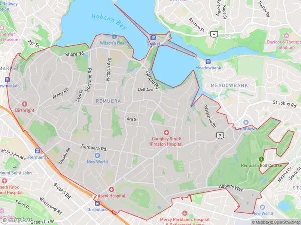
27781 people live in Remuera, Ōrākei, NZRemuera Suburb Area Map (Polygon)
Remuera Introduction
Remuera is a suburb of Auckland, New Zealand, known for its high-end housing, leafy streets, and prestigious schools. It is located in the eastern part of the city, between the CBD and the waterfront. The area has a rich history and is home to many historic buildings, including the Remuera House, which is one of New Zealand's oldest surviving houses. Remuera also has a popular shopping district, with many luxury stores and restaurants.Region
Major City
Suburb Name
RemueraOther Name(s)
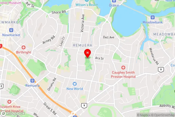
Broadway ParkRemuera Area Map (Street)
Local Authority
AucklandFull Address
Remuera, Auckland, New ZealandAddress Type
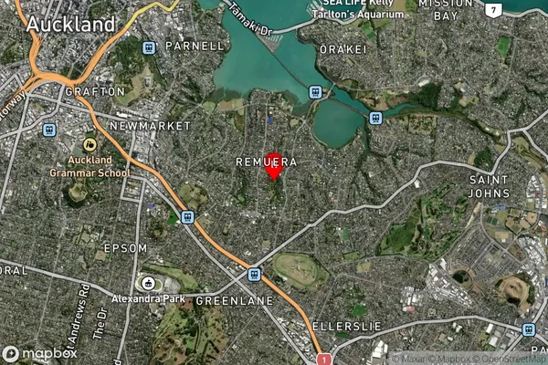
Suburb in City AucklandRemuera Suburb Map (Satellite)
Country
Main Region in AU
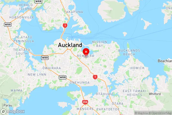
AucklandRemuera Region Map
Coordinates
-36.8759344,174.8014178 (latitude/longitude)Distances
The distance from Remuera, Auckland, Auckland to NZ Top 10 Cities