Westhaven Area, Westhaven Postcode(1011) & Map in Westhaven
Westhaven Area, Westhaven Postcode(1011) & Map in Westhaven, Auckland, New Zealand
Westhaven, Auckland, New Zealand
Westhaven Postcodes
Westhaven Area (estimated)
0.2 square kilometersWesthaven Population (estimated)
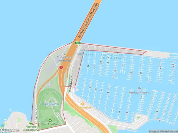
3 people live in Westhaven, Auckland, NZWesthaven Suburb Area Map (Polygon)
Westhaven Introduction
Westhaven is a suburb of Auckland, New Zealand. It is located on the western coast of the Waitemata Harbour and is known for its beautiful beaches, parks, and vibrant community. The area has a rich history and was once home to a significant Māori population. Westhaven is a popular destination for tourists and locals alike, with many attractions and activities to enjoy. It is also home to a large number of businesses and industries, including the Westhaven Marina, which is a major hub for recreational boating and fishing.Region
Major City
Suburb Name
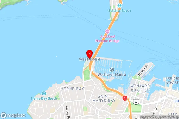
WesthavenWesthaven Area Map (Street)
Local Authority
AucklandFull Address
Westhaven, Auckland, New ZealandAddress Type
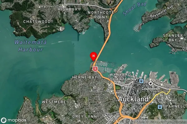
Suburb in City AucklandWesthaven Suburb Map (Satellite)
Country
Main Region in AU
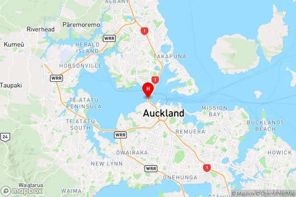
AucklandWesthaven Region Map
Coordinates
-36.8357308,174.7413668 (latitude/longitude)Distances
The distance from Westhaven, Auckland, Auckland to NZ Top 10 Cities