Point Chevalier Area, Point Chevalier Postcode(1026) & Map in Point Chevalier
Point Chevalier Area, Point Chevalier Postcode(1026) & Map in Point Chevalier, Auckland, New Zealand
Point Chevalier, Auckland, New Zealand
Point Chevalier Area (estimated)
3.9 square kilometersPoint Chevalier Population (estimated)
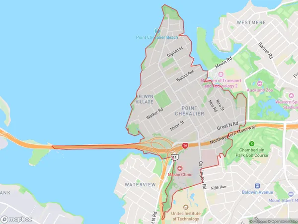
8664 people live in Point Chevalier, Albert-Eden, NZPoint Chevalier Suburb Area Map (Polygon)
Point Chevalier Introduction
Point Chevalier is a suburb of Auckland, New Zealand, located to the southeast of the city center. It is known for its vibrant community, historic buildings, and proximity to the waterfront. The area has a rich cultural heritage and is home to many popular restaurants, cafes, and bars. Point Chevalier is also home to a large population of artists and creatives, making it a hub for art and culture in the region.Region
Major City
Suburb Name
Point ChevalierOther Name(s)
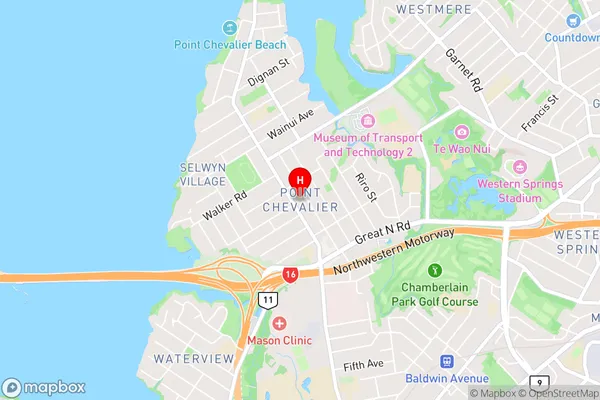
Pt ChevalierPoint Chevalier Area Map (Street)
Local Authority
AucklandFull Address
Point Chevalier, Auckland, New ZealandAddress Type
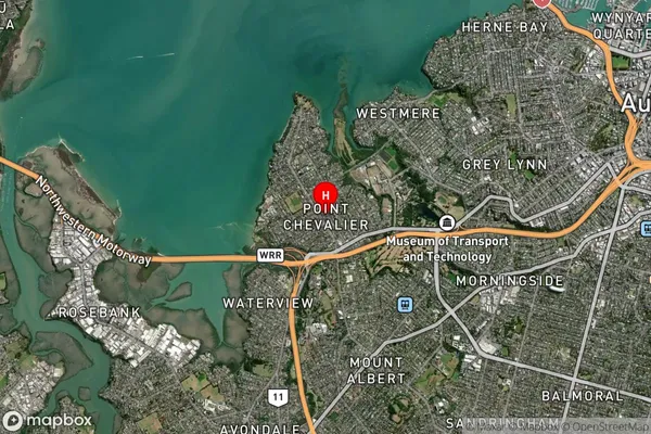
Suburb in City AucklandPoint Chevalier Suburb Map (Satellite)
Country
Main Region in AU
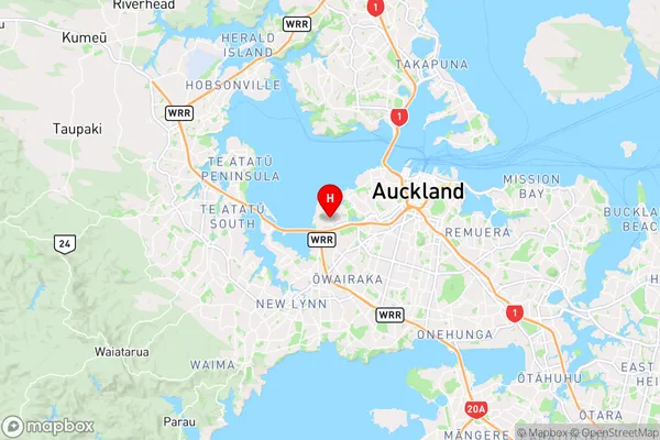
AucklandPoint Chevalier Region Map
Coordinates
-36.8665285,174.7080874 (latitude/longitude)Distances
The distance from Point Chevalier, Auckland, Auckland to NZ Top 10 Cities