Herne Bay Area, Herne Bay Postcode(1011) & Map in Herne Bay
Herne Bay Area, Herne Bay Postcode(1011) & Map in Herne Bay, Auckland, New Zealand
Herne Bay, Auckland, New Zealand
Herne Bay Area (estimated)
1.3 square kilometersHerne Bay Population (estimated)
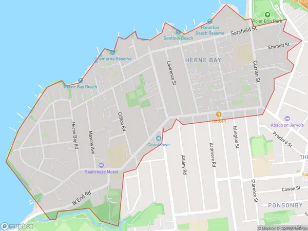
3338 people live in Herne Bay, Auckland, NZHerne Bay Suburb Area Map (Polygon)
Herne Bay Introduction
Herne Bay is a suburb of Auckland, New Zealand, located on the city's North Shore. It is known for its beaches, parks, and vibrant community. The suburb has a population of around 40,000 people and is home to several popular attractions, including the Herne Bay Shopping Centre, the Herne Bay Marine Reserve, and the Herne Bay Theatre.Region
Major City
Suburb Name
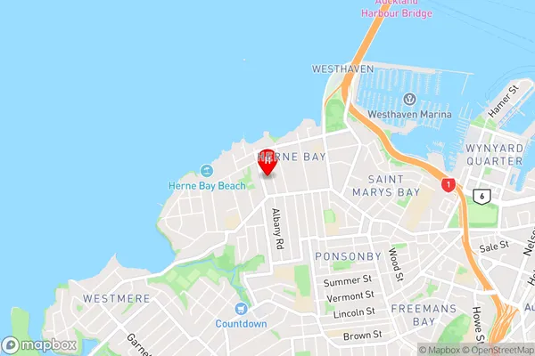
Herne BayHerne Bay Area Map (Street)
Local Authority
AucklandFull Address
Herne Bay, Auckland, New ZealandAddress Type
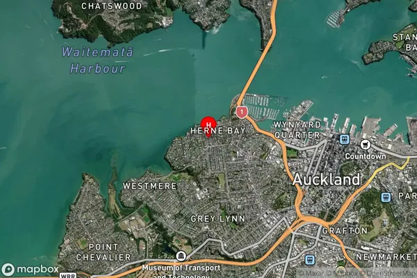
Suburb in City AucklandHerne Bay Suburb Map (Satellite)
Country
Main Region in AU
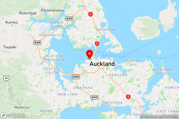
AucklandHerne Bay Region Map
Coordinates
-36.8441306,174.7341061 (latitude/longitude)Distances
The distance from Herne Bay, Auckland, Auckland to NZ Top 10 Cities