Avondale Area, Avondale Postcode(1026) & Map in Avondale
Avondale Area, Avondale Postcode(1026) & Map in Avondale, Auckland, New Zealand
Avondale, Auckland, New Zealand
Avondale Area (estimated)
9.2 square kilometersAvondale Population (estimated)
22662 people live in Avondale, Whau, NZAvondale Suburb Area Map (Polygon)
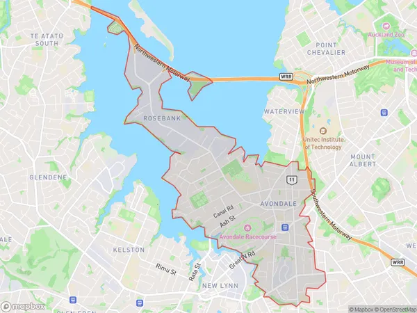
Avondale Introduction
Avondale is a suburb in Auckland, New Zealand, with a rich history and diverse population. It is known for its vibrant cultural scene, with a variety of restaurants, cafes, and art galleries. The suburb also has a large student population due to its proximity to several universities and colleges. Avondale is well-connected to the rest of the city by public transportation, and it is home to several parks and recreational facilities.Region
Major City
Suburb Name
AvondaleOther Name(s)
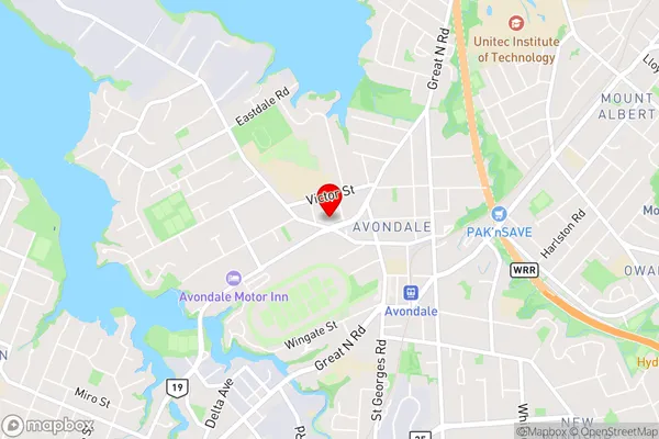
Mt Roskill, RosebankAvondale Area Map (Street)
Local Authority
AucklandFull Address
Avondale, Auckland, New ZealandAddress Type
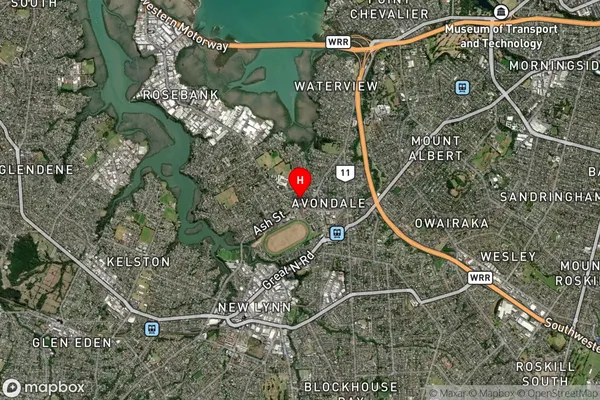
Suburb in City AucklandAvondale Suburb Map (Satellite)
Country
Main Region in AU
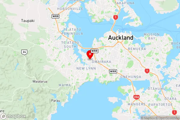
AucklandAvondale Region Map
Coordinates
-36.8930582,174.692814 (latitude/longitude)Distances
The distance from Avondale, Auckland, Auckland to NZ Top 10 Cities