Kelston Area, Kelston Postcode(0602) & Map in Kelston
Kelston Area, Kelston Postcode(0602) & Map in Kelston, Auckland, New Zealand
Kelston, Auckland, New Zealand
Kelston Postcodes
Kelston Area (estimated)
2.0 square kilometersKelston Population (estimated)
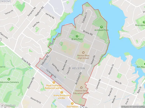
5244 people live in Kelston, Whau, NZKelston Suburb Area Map (Polygon)
Kelston Introduction
Kelston is a suburb of Auckland, New Zealand, located in the North Shore City Council area. It is known for its vibrant community, excellent schools, and proximity to the city center. The area has a rich history and is home to several historic buildings, including the Kelston War Memorial Library and the Kelston Methodist Church.Region
Major City
Suburb Name
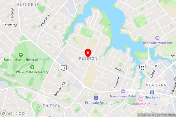
KelstonKelston Area Map (Street)
Local Authority
AucklandFull Address
Kelston, Auckland, New ZealandAddress Type
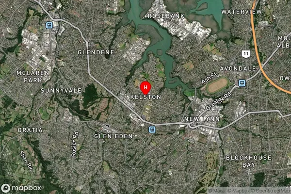
Suburb in City AucklandKelston Suburb Map (Satellite)
Country
Main Region in AU
AucklandKelston Region Map

Coordinates
-36.9015651,174.6650174 (latitude/longitude)Distances
The distance from Kelston, Auckland, Auckland to NZ Top 10 Cities