Glendene Area, Glendene Postcode(0602) & Map in Glendene
Glendene Area, Glendene Postcode(0602) & Map in Glendene, Auckland, New Zealand
Glendene, Auckland, New Zealand
Glendene Area (estimated)
3.1 square kilometersGlendene Population (estimated)
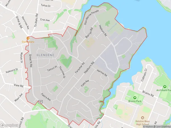
8247 people live in Glendene, Henderson-Massey, NZGlendene Suburb Area Map (Polygon)
Glendene Introduction
Glendene is a suburb in Auckland, New Zealand, with a population of around 12,000 people. It is known for its large population of Pacific Islanders and has a mix of residential, commercial, and industrial areas. The suburb has a number of parks and recreational facilities, including Glendene Park and the Glendene Sports Complex. It is also home to a number of schools, including Glendene Primary School and Glendene College.Region
Major City
Suburb Name
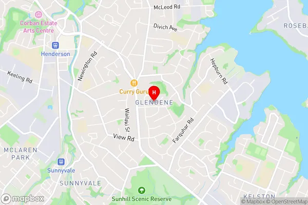
GlendeneGlendene Area Map (Street)
Local Authority
AucklandFull Address
Glendene, Auckland, New ZealandAddress Type
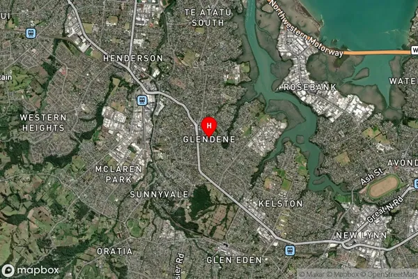
Suburb in City AucklandGlendene Suburb Map (Satellite)
Country
Main Region in AU
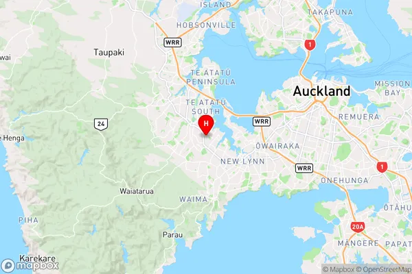
AucklandGlendene Region Map
Coordinates
-36.8889273,174.6474329 (latitude/longitude)Distances
The distance from Glendene, Auckland, Auckland to NZ Top 10 Cities