West Harbour Area, West Harbour Postcode(0618) & Map in West Harbour
West Harbour Area, West Harbour Postcode(0618) & Map in West Harbour, Auckland, New Zealand
West Harbour, Auckland, New Zealand
West Harbour Area (estimated)
5.0 square kilometersWest Harbour Population (estimated)
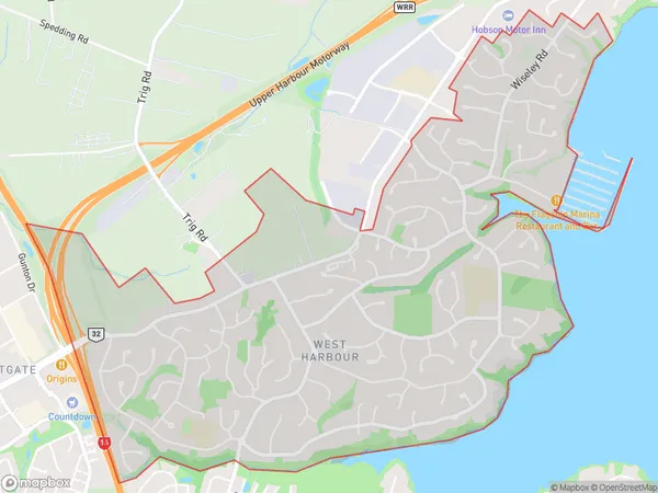
11103 people live in West Harbour, Upper Harbour, NZWest Harbour Suburb Area Map (Polygon)
West Harbour Introduction
West Harbour is a popular area for sailing and boating in Auckland, New Zealand. It is home to the Westhaven Marina and the Auckland Ferry Terminal. The area also has several restaurants, cafes, and parks, making it a popular destination for locals and tourists alike. West Harbour is located on the western side of the Auckland Harbour Bridge, and it is easily accessible from the city center by car or public transportation.Region
Major City
Suburb Name
West HarbourOther Name(s)
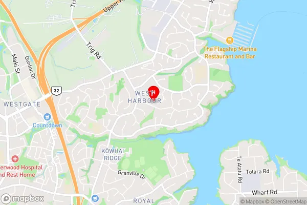
Westpark MarinaWest Harbour Area Map (Street)
Local Authority
AucklandFull Address
West Harbour, Auckland, New ZealandAddress Type
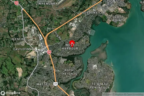
Suburb in City AucklandWest Harbour Suburb Map (Satellite)
Country
Main Region in AU
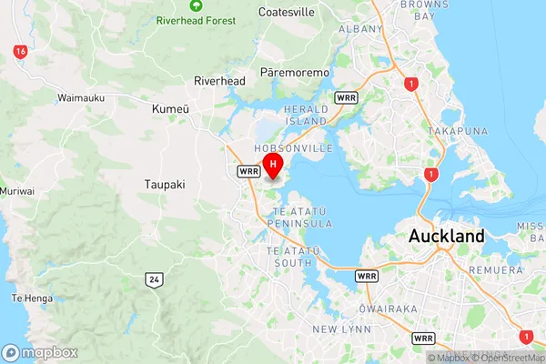
AucklandWest Harbour Region Map
Coordinates
-36.8194969,174.6320913 (latitude/longitude)Distances
The distance from West Harbour, Auckland, Auckland to NZ Top 10 Cities