Chatswood Area, Chatswood Postcode(0626) & Map in Chatswood
Chatswood Area, Chatswood Postcode(0626) & Map in Chatswood, Auckland, New Zealand
Chatswood, Auckland, New Zealand
Chatswood Postcodes
Chatswood Area (estimated)
3.5 square kilometersChatswood Population (estimated)
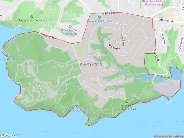
3423 people live in Chatswood, Kaipātiki, NZChatswood Suburb Area Map (Polygon)

Chatswood Introduction
Chatswood is a large commercial and retail hub located in the eastern suburbs of Auckland, New Zealand. It is known for its high-end shopping malls, including Chatswood Chase and Westfield Chatswood, as well as its many restaurants, cafes, and entertainment venues. The area is also home to a large population of Chinese immigrants, and has a vibrant Chinese community. Chatswood is well-connected to the rest of Auckland via public transport, and is only a short drive from the city center.Region
Major City
Suburb Name
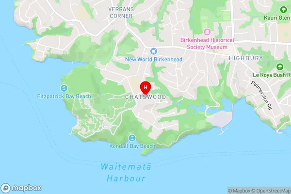
ChatswoodChatswood Area Map (Street)

Local Authority
AucklandFull Address
Chatswood, Auckland, New ZealandAddress Type
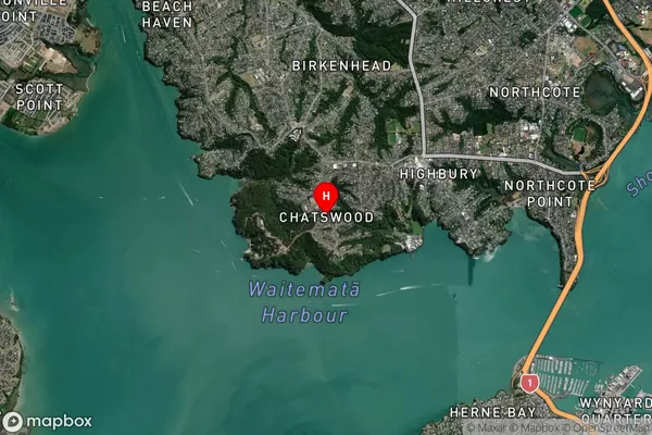
Suburb in City AucklandChatswood Suburb Map (Satellite)

Country
Main Region in AU
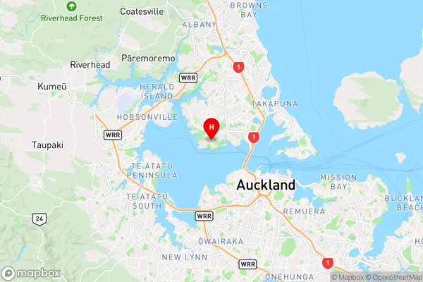
AucklandChatswood Region Map

Coordinates
-36.8178641,174.710109 (latitude/longitude)Distances
The distance from Chatswood, Auckland, Auckland to NZ Top 10 Cities