Northcote Area, Northcote Postcode(2627) & Map in Northcote
Northcote Area, Northcote Postcode(2627) & Map in Northcote, Auckland, New Zealand
Northcote, Auckland, New Zealand
Northcote Area (estimated)
-1.2 square kilometersNorthcote Population (estimated)
9189 people live in Northcote, Kaipātiki, NZNorthcote Suburb Area Map (Polygon)
Not available for nowNorthcote Introduction
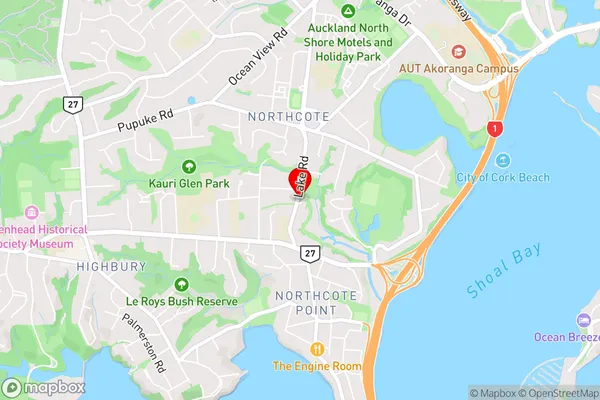
Northcote is a suburb of Auckland, New Zealand, located in the North Shore City Council area. It is known for its vibrant arts scene, with numerous galleries and studios, and its historic buildings, including the Northcote Town Hall. Northcote is also home to a popular shopping district, with a variety of shops and cafes. The suburb is well-connected to other parts of Auckland, with good public transport links, and is within easy reach of the city's central business district.Region
Major City
Suburb Name
NorthcoteOther Name(s)
Akoranga, Northpote PointNorthcote Area Map (Street)
Local Authority
AucklandFull Address
Northcote, Auckland, New ZealandAddress Type
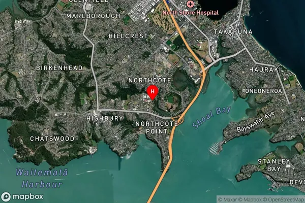
Suburb in City AucklandNorthcote Suburb Map (Satellite)
Country
Main Region in AU
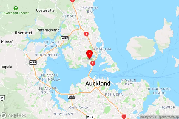
AucklandNorthcote Region Map
Coordinates
-36.807775,174.7440606 (latitude/longitude)Distances
The distance from Northcote, Auckland, Auckland to NZ Top 10 Cities