Milford Area, Milford Postcode(0620) & Map in Milford
Milford Area, Milford Postcode(0620) & Map in Milford, Auckland, New Zealand
Milford, Auckland, New Zealand
Milford Area (estimated)
2.8 square kilometersMilford Population (estimated)
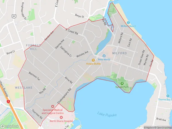
7939 people live in Milford, Devonport-Takapuna, NZMilford Suburb Area Map (Polygon)
Milford Introduction
Milford, Auckland, Auckland, New Zealand, is a suburban area with a population of around 40,000 people. It is located on the southern shore of Waitemata Harbour and is known for its beautiful beaches, lush parks, and vibrant nightlife. The area has a rich history and was once home to a significant Māori population. Milford is also home to several major businesses and is a popular destination for tourists and commuters alike.Region
Major City
Suburb Name
MilfordOther Name(s)
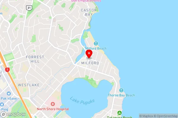
WestlakeMilford Area Map (Street)
Local Authority
AucklandFull Address
Milford, Auckland, New ZealandAddress Type
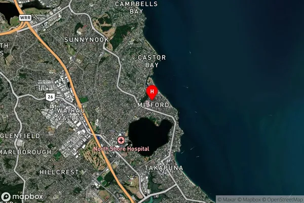
Suburb in City AucklandMilford Suburb Map (Satellite)
Country
Main Region in AU
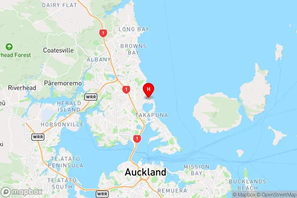
AucklandMilford Region Map
Coordinates
-36.7708928,174.7673032 (latitude/longitude)Distances
The distance from Milford, Auckland, Auckland to NZ Top 10 Cities