Annesbrook Area, Annesbrook Postcode(7011) & Map in Annesbrook
Annesbrook Area, Annesbrook Postcode(7011) & Map in Annesbrook, Nelson City, New Zealand
Annesbrook, Nelson City, New Zealand
Annesbrook Postcodes
Annesbrook Area (estimated)
2.1 square kilometersAnnesbrook Population (estimated)
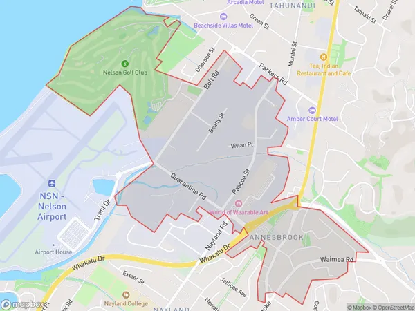
1124 people live in Annesbrook, Nelson, NZAnnesbrook Suburb Area Map (Polygon)
Annesbrook Introduction
Annesbrook is a residential suburb of Nelson, New Zealand, located 6 km from the city center. It is known for its peaceful atmosphere, scenic views, and well-maintained homes. The suburb has a variety of amenities, including a golf course, a bowling club, and a community center. It is also home to several schools, including Nelson College and St. Mary's School.Region
Major City
Suburb Name
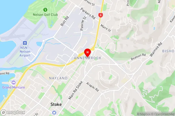
AnnesbrookAnnesbrook Area Map (Street)
Local Authority
Nelson CityFull Address
Annesbrook, Nelson City, New ZealandAddress Type
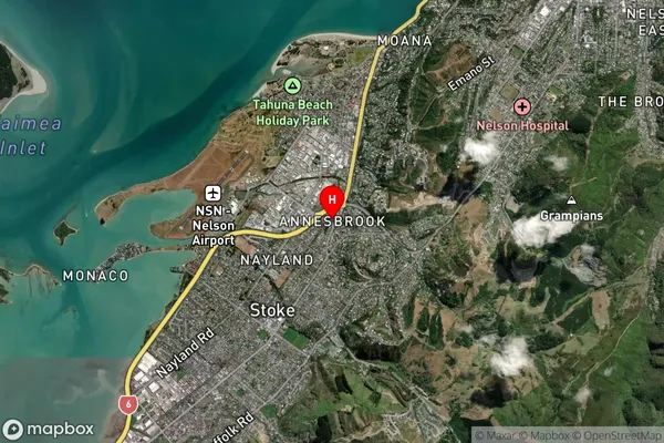
Suburb in City NelsonAnnesbrook Suburb Map (Satellite)
Country
Main Region in AU
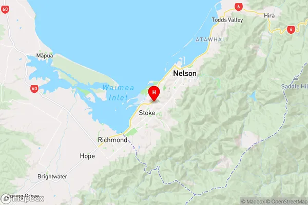
NelsonAnnesbrook Region Map
Coordinates
-41.3004752,173.2425826 (latitude/longitude)Distances
The distance from Annesbrook, Nelson, Nelson City to NZ Top 10 Cities