Okura Bush Area, Okura Bush Postcode & Map in Okura Bush
Okura Bush Area, Okura Bush Postcode & Map in Okura Bush, Auckland,
Okura Bush, Auckland,
Okura Bush Area (estimated)
13.5 square kilometersOkura Bush Population (estimated)
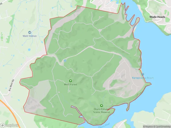
78 people live in Okura Bush, Silverdale, NZOkura Bush Suburb Area Map (Polygon)
Okura Bush Introduction
The Okura Bush is a historic forest located in Silverdale, Auckland, New Zealand. It was established in the 1860s and is known for its beautiful native trees, including totara, kauri, and pukatea. The bush is a popular destination for walkers, cyclists, and nature enthusiasts, with a network of walking and cycling trails. It is also home to a variety of bird species, including the kereru, tui, and kiwi. The Okura Bush is an important part of New Zealand's cultural and natural heritage and is protected under the New Zealand Historic Places Trust.Region
Major City
Suburb Name
Okura BushOkura Bush Area Map (Street)
Local Authority
AucklandFull Address
Okura Bush, Auckland,Address Type
Locality in Town SilverdaleOkura Bush Suburb Map (Satellite)
Country
Main Region in AU
AucklandOkura Bush Region Map
Coordinates
0,0 (latitude/longitude)Distances
The distance from Okura Bush, Silverdale, Auckland to NZ Top 10 Cities