Campbells Bay Area, Campbells Bay Postcode(0732) & Map in Campbells Bay
Campbells Bay Area, Campbells Bay Postcode(0732) & Map in Campbells Bay, Auckland, New Zealand
Campbells Bay, Auckland, New Zealand
Campbells Bay Area (estimated)
2.1 square kilometersCampbells Bay Population (estimated)
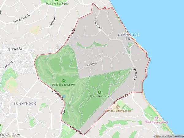
2931 people live in Campbells Bay, Hibiscus and Bays, NZCampbells Bay Suburb Area Map (Polygon)
Campbells Bay Introduction
Campbells Bay is a picturesque suburb of Auckland, known for its stunning beaches, lush green parks, and vibrant community. It is located on the eastern coast of the Auckland Harbour and is surrounded by the Tamaki Strait and the Waitemata Harbour. The area has a rich history, with many historic buildings and sites, including the Campbells Bay Domain, a historic park that offers panoramic views of the city skyline. Campbells Bay is also home to a variety of popular restaurants, cafes, and bars, making it a popular destination for locals and tourists alike.Region
Major City
Suburb Name
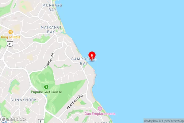
Campbells BayCampbells Bay Area Map (Street)
Local Authority
AucklandFull Address
Campbells Bay, Auckland, New ZealandAddress Type
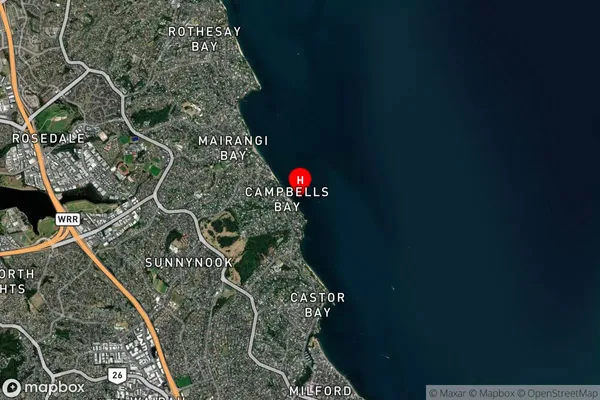
Suburb in City AucklandCampbells Bay Suburb Map (Satellite)
Country
Main Region in AU
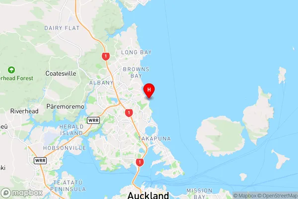
AucklandCampbells Bay Region Map
Coordinates
-36.7455535,174.7642204 (latitude/longitude)Distances
The distance from Campbells Bay, Auckland, Auckland to NZ Top 10 Cities